Subject: Los Angeles & San Francisco, California
Period: 1915-21 (dated)
Publication:
Color: Printed Color
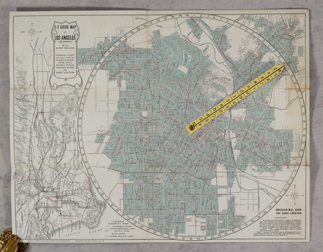
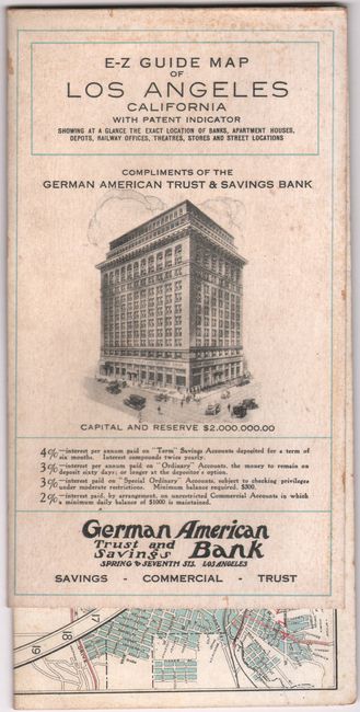
A. E-Z Guide Map Of Los Angeles California With Patent Indicator..., dated 1915 (16.5 x 12.8"). This remarkable map of Los Angeles by Fred Bain is drawn on a circle with a paper location indicator centered on a metal rivet. The map extends to include Ascot Park, Hollywood, Highland Park, Boyle Heights, and Huntington Park. Locates Hollywood Cemetery, Elysian Park, East Lake Park, Evergreen Cemetery, Calvary Cemetery, Exposition Park, South Park, Griffith Park and more. The map features a unique, and remarkably easy to use, locating pointer that is indexed to the nearly 2,000 place names on verso. The circle has 96 numbers around the circumference and the pointer has the letters A to Z. The combination of the two determines exact locations. To the left of the circle is a metropolitan map of the L.A. area, with north oriented to the left. It extends from about today's Malibu to Naples on the coast. This map's inland view extends further east to include Pomona, Ontario and beyond Cucamonga. In addition to the extensive index on the reverse there are listings (with location key) for Railway Stations and Ticket Offices, Important Buildings, Hotels and Apartments, Parks, Moving Pictures Houses (13), and Theaters. Self-folding with "Compliments of German American Trust and Savings Bank." Reference: Rumsey #8497. Condition: Issued folding on stiff paper with minor foxing and faint toning along the right sheet edge.
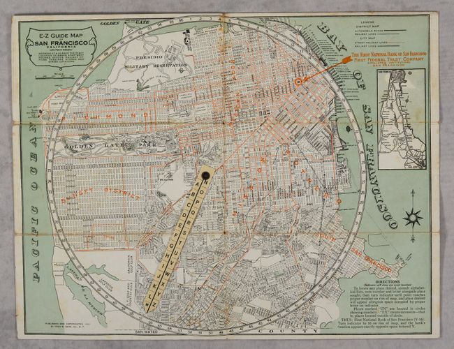
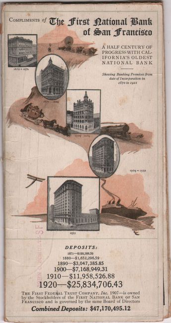
B. E-Z Guide Map of San Francisco California (with Patent Indicator)..., dated 1921 (16.4 x 12.9"). This detailed map of San Francisco was also published by Fred Bain, and is crafted in the same fashion as the map above. It extends from the Presidio south to the border with San Mateo County, and has an inset map at top right of the peninsula from San Jose to San Francisco. Includes an extensive index on verso along with the location of hotels, hospitals, theatres, clubs, parks, and more. Self-folding with "Compliments of The First National Bank of San Francisco." Condition: Issued folding on stiff paper with light wear along the fold lines and minor foxing.
References:
Condition: B+
See description above.