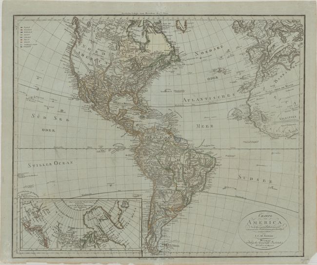
Subject: Western Hemisphere - America
Period: 1804 (dated)
Publication: Weimar Geographisches Institut
Color: Hand Color
Size:
24.4 x 20.4 inches
62 x 51.8 cm
Very scarce German map of the Americas. North America is shown with several large mountain ranges in the Midwest and a few suggested ranges in the rather blank western interior. West Florida is shown extending into present day Texas, with the settlement of Texas named. The lower left of the map has a large inset showing the discoveries of Cook, Hearne, Vancouver and Mackenzie in Alaska and the Arctic regions. The European colonial interests are depicted in outline color as identified in a legend in the upper-left corner.
References:
Condition: A
Contemporary outline color on sturdy hand-laid paper that has a slight bluish tone, common to French paper of this period. The centerfold has been professionally reinforced with the leaf-casting method. The bottom right corner is chipped, not affecting the map and there are a few short tears in blank margins.


