Subject: Atlases
Period: 1650 (published)
Publication:
Color: Hand Color
Size:
14.6 x 21.8 inches
37.1 x 55.4 cm
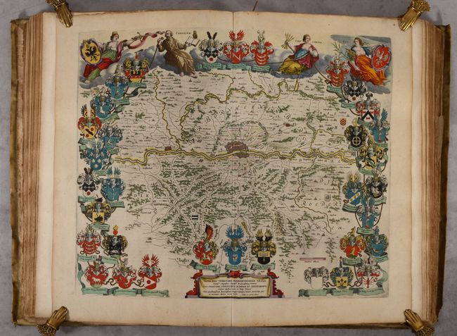
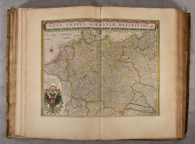
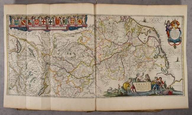
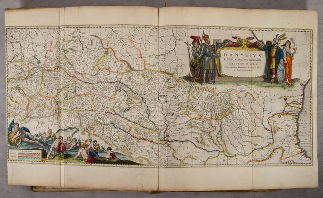
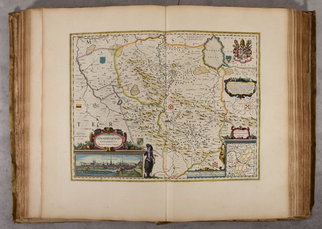
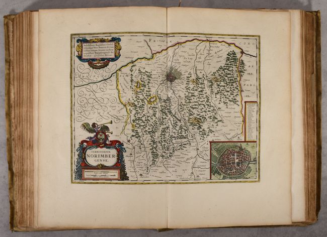
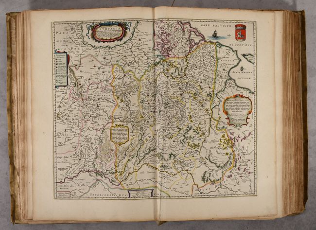
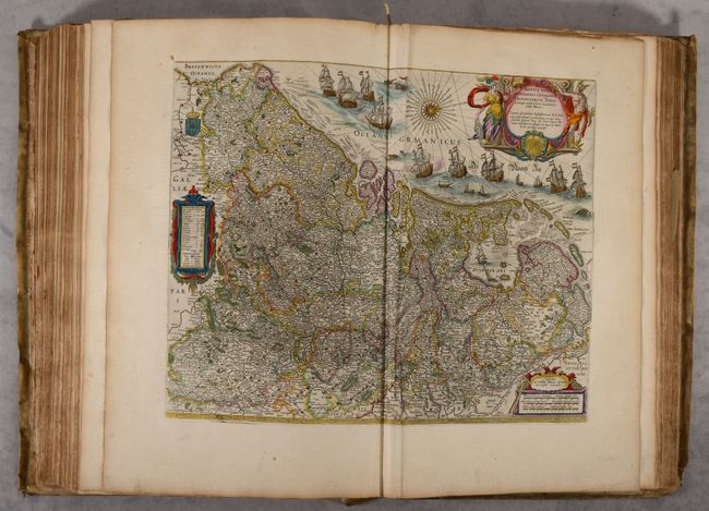
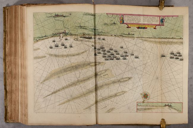
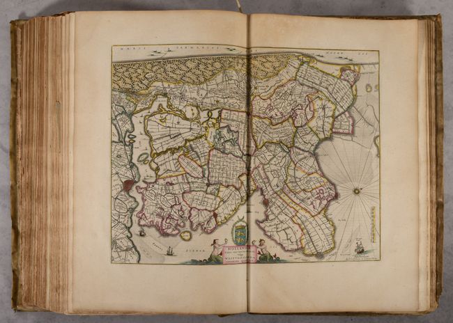
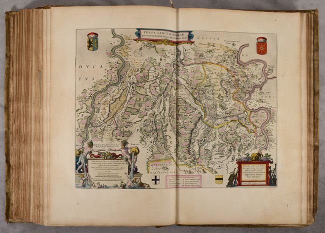
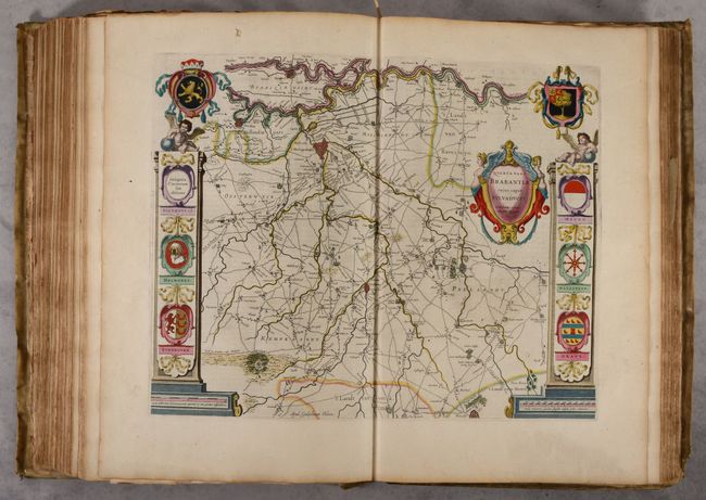
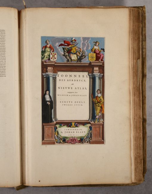
This is a Dutch edition of Volume I of Blaeu's Theatrum Orbis Terrarum, which includes 107 maps (out of 120) on Germany, the Netherlands, and parts of eastern Europe. The Theatrum Orbis Terrarum was Blaeu's response to heightening competition with Jan Jansson, and was published in Latin, Dutch and French beginning in 1635. Blaeu's work was typically divided into multiple volumes due to its size. Volume I is divided into two parts, of which the second part, covering the Netherlands, is complete. The first part, which covers Germany and parts of northern and eastern Europe, is missing the title page, 13 maps (including the world map and maps of northern Europe), and some text pages (mostly on the versos of the missing maps). The remaining maps are in excellent condition with superb contemporary hand coloring, including 4 large folding maps of the Rhine River, Danube River, Alsace and the lower Rhine, and the coastline around Dunkirk, France.
The title page to the second part is presented in the architectural format. A knight in full armor and a nun flank the title. At the top are two maidens displaying coats of arms, and the allegorical figure of Mars with his ferocious hounds.
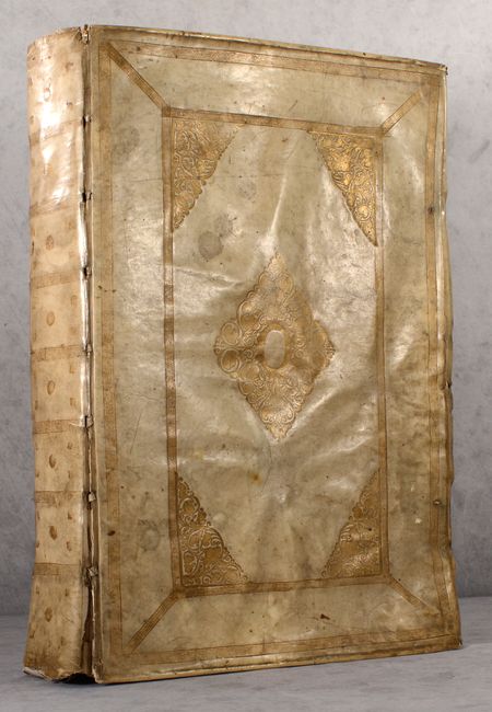
Elephant folio with 107 maps, text, 1 title page, and a table of contents. Hardbound in full contemporary vellum with gilt embossing on covers and spine and all edges gilt (a.e.g.).
References: Van der Krogt (Vol. II) #2:222.
Condition: B+
The maps are in full contemporary color with gilt highlights and mostly clean and bright with light toning along the edges of the sheets. The most common issue throughout is extraneous creasing (usually just one crease adjacent to the centerfold) due to the maps not being carefully folded back into the volume by users. There is occasional soiling, foxing, and short edge tears. The preface and introduction to Part I are heavily creased with tattered fore-edges. The front cover is beginning to detach, and the covers are well worn with some soiling and buckling of the boards. There is a chip in the bottom left corner of the back cover. The spine is also soiled and worn with the bottom half mostly detached.