Subject: Central Europe, Germany
Period: 1708 (circa)
Publication:
Color: Hand Color
Size:
4.1 x 6.7 inches
10.4 x 17 cm
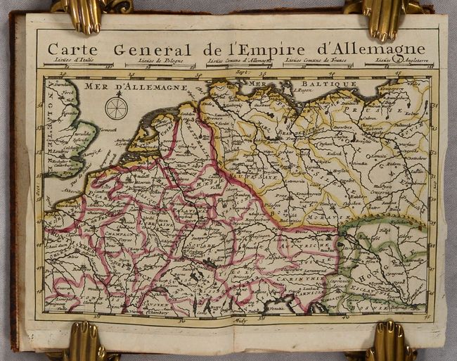
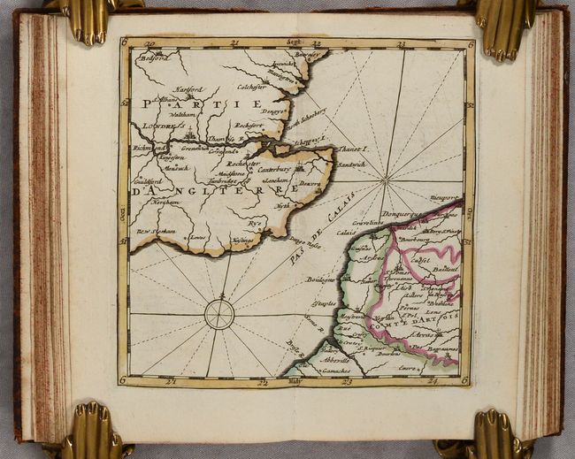
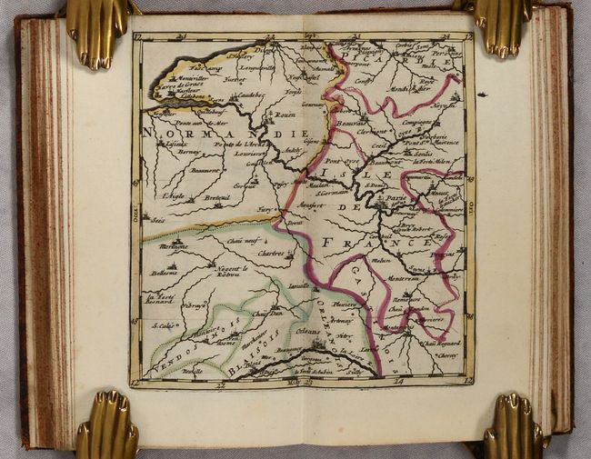
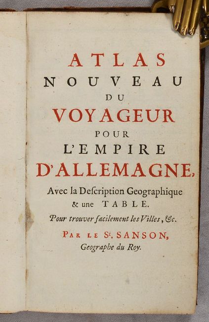
This scarce small volume focuses on the German Empire, encompassing most of Central Europe from the North Sea to the Baltic Sea to the Adriatic Sea. It includes a general map of the region, a key map, and 23 regional maps. The volume also includes a 30-page geographical description of the German Empire and a 26-page table with an alphabetical listing of locations within the maps. 12mo. 2 title pages; 30 pp.; 25 maps; 26 pp. Hardbound in full contemporary leather with raised bands on spine and gilt tooling on covers and spine.
References:
Condition: B+
The maps are clean and bright with contemporary outline color. Several maps have short centerfold separations at bottom or old manuscript notations. The general map has a tear at right that has been closed with archival tape on verso. The text has minor toning and soiling. The covers are lightly soiled with some small abrasions and bumped corners. The spine has some cracks, small chips and abrasions.