Catalog Archive
Auction 189, Lot 439

NO RESERVE

"La France Divisee en Toutes ses Provinces, Suivant les Cartes de G. de l'Isle", Leth, Hendrik de
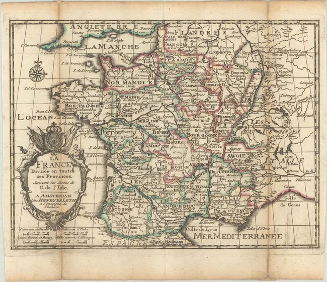
Subject: France

Period: 1740 (circa)

Publication: Nouvel Atlas Geographique & Historique...

Color: Hand Color

Size:
8.3 x 6.3 inches
21.1 x 16 cm
Download High Resolution Image
(or just click on image to launch the Zoom viewer)

Charming little map of France with good detail of the provinces and major towns. The title is contained in a decorative cartouche topped with the royal crest. For his Nouvel Atlas, Leth made close copies of Jacques Chiquet's maps published in Le Nouveau et Curieux Atlas in 1719.

References: Shirley (BL Atlases) T.LETH-1a.

Condition: B+

A dark impression with contemporary outline color, issued folding with light toning along the folds and short fold separations that have been repaired with paper on verso.

Estimate: $70 - $90

Sold for: $16

Closed on 9/14/2022

Archived