Subject: Southern Ireland
Period: 1616-19 (circa)
Publication:
Color: Black & White
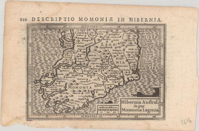
A. Hibernia Austral. in qua Momonia Lagenia, by Hondius/Bertius, from Tabularum Geographicarum Contractarum, circa 1616 (5.3 x 3.7"). This beautifully engraved miniature map covers Ireland from Galway and Dublin south to its southern coast. It includes several place names, strapwork title and distance scale cartouches, and a moiré patterned sea. While the majority of the maps for Bertius' geographical treatise were engraved by Jodocus Hondius Jr. after Mercator, the individual maps of England, Scotland and Ireland were engraved by Salomon Rogiers after John Speed. Latin text on verso. References: King (2nd ed.) pp. 96-99; Law, pp. 14-18; Van der Krogt (Vol. III) #5930:342. Condition: A nice impression on watermarked paper with light dampstains at top and bottom and a couple tiny chips and edge tears along the bottom edge.
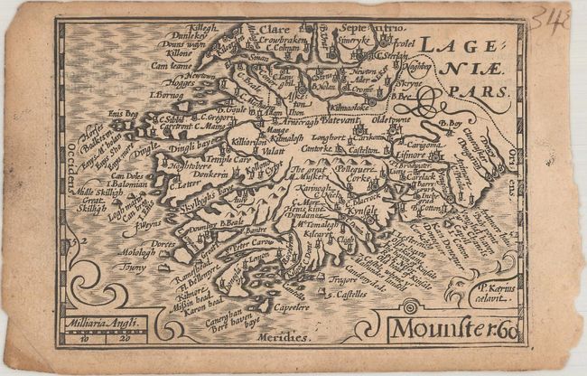
B. Mounster, by Speed/Kaerius, circa 1619 (4.8 x 3.4"). This miniature map of the province of Munster features nice detail for a map of its size. Cork, Limerick, and Kinsale are among the towns and cities identified. The map is decorated with a moiré patterned sea and simple strapwork title and distance scale cartouches. This map appeared in one of the series of "miniature Speed" atlases published by George Humble and his heir William. References: King (2nd ed.) pp. 100-101; cf. Shirley (BL Atlases) T.KEE-1b #51. Condition: On lightly toned, watermarked paper with light dampstains that just cross into the map image at top and marginal soiling.
References:
Condition: B+
See description above.