Catalog Archive
Auction 189, Lot 395

"Glamorganensis Comitatus; Vulgo Glamorgan Shire", Blaeu, (Family)

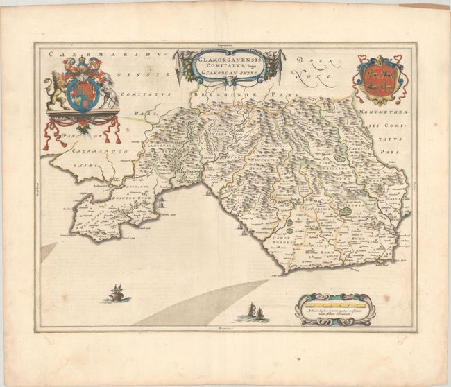
Subject: Southern Wales

Period: 1645 (circa)

Publication: Le Theatre du Monde ou Nouvel Atlas

Color: Hand Color

Size:
20 x 15.1 inches
50.8 x 38.4 cm
Download High Resolution Image
(or just click on image to launch the Zoom viewer)

This is a handsome map of Glamorgan fully engraved to show the topography, forests, parks, cities, and villages. There are several ships in the seas, two cartouches, and the royal arms of Britain and the coat of arms of Llywelyn the Great, who reigned over Wales for more than 40 years. This very handsome map is from the fourth volume of Blaeu's atlas which focused on England and Wales. French text on verso, published between 1645-48.

References: Van der Krogt (Vol. II) #5520:2.

Condition: B+

Full contemporary color with light soiling and a printer's crease adjacent to the centerfold.

Estimate: $230 - $275

Unsold

Closed on 9/14/2022

Archived