Catalog Archive
Auction 189, Lot 344

"Insulae Acores Delineante Ludovico Teisera", Blaeu, Johannes
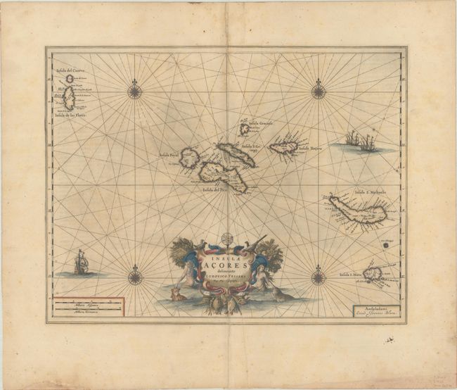
Subject: Azores

Period: 1659 (circa)

Publication: Nuevo Atlas

Color: Hand Color

Size:
19.6 x 15.1 inches
49.8 x 38.4 cm
Download High Resolution Image
(or just click on image to launch the Zoom viewer)

This fine map of the strategically important Azores Islands was drawn by Luis Teixeira, the Portuguese Jesuit who was cartographer to the Spanish crown. The map is beautifully adorned with several sailing ships and compass roses and the central title cartouche features creatures of the sea. Spanish text on verso, published between 1659-72.

References: Van der Krogt (Vol. II) #6350:2.

Condition: B

A crisp impression with contemporary color. There are some small wormtracks and holes, light scattered foxing, and a few splits and printer's creases around the centerfold.

Estimate: $400 - $475

Sold for: $300

Closed on 9/14/2022

Archived