Subject: Colorado
Period: 1867 (published)
Publication:
Color: Hand Color
Size:
11.1 x 8.2 inches
28.2 x 20.8 cm
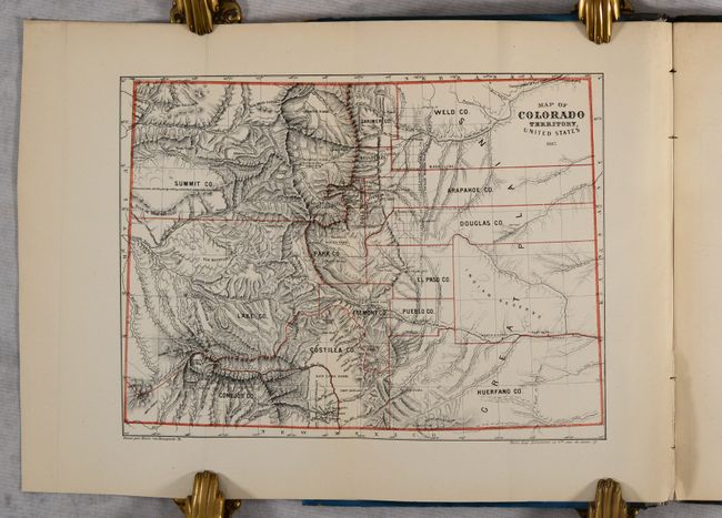
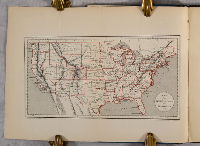
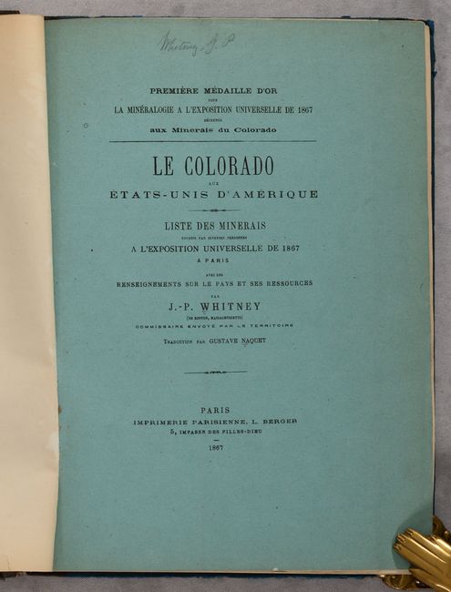
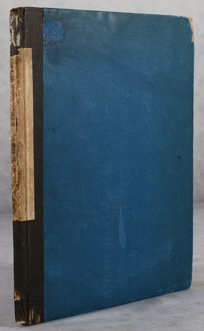
This 71-page pamphlet written by J.P. Whitney was translated into French and published in conjunction with the Paris Universal Exposition. The text describes the territory's mineral wealth and opportunities, and was used in Paris to encourage foreign investment in Colorado. Whitney's work was well received in Paris and was awarded a gold medal by the Exposition. At the front of the volume are two folding maps: Map of Colorado Territory, United States (11.1 x 8.2") and Map of the United States and Territories (12.6 x 6.6"). The map of Colorado depicts 16 counties and a large Indian Reserve in the east. Surveying is limited to the Front Range and "GOLD MINING" is prominently located to the west of Denver. The pamphlet was issued in blue paper wrappers and has since been rebound (preserving the original wrappers).
References: Howes #W-387.
Condition: B+
Contents are very good with a hint of pleasant light toning. Ex-library with withdrawn stamp on front pastedown. Front hinge is starting and the binding is moderately worn and soiled.