Catalog Archive
Auction 189, Lot 189
"Tourist Map of Union Pacific the Overland Route and Connecting Lines", Railroad Companies, (Various)
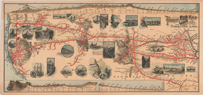
Subject: Western United States
Period: 1890 (circa)
Publication:
Color: Printed Color
Size:
23.3 x 10.7 inches
59.2 x 27.2 cm
Download High Resolution Image
(or just click on image to launch the Zoom viewer)
(or just click on image to launch the Zoom viewer)