Catalog Archive
Auction 188, Lot 94

"Isle Royale", Robert de Vaugondy, Didier

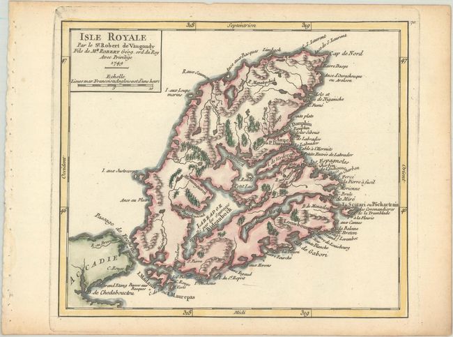
Subject: Cape Breton Island, Canada

Period: 1749 (dated)

Publication: Atlas Portatif Universel et Militaire

Color: Hand Color

Size:
7.6 x 6.4 inches
19.3 x 16.3 cm
Download High Resolution Image
(or just click on image to launch the Zoom viewer)

Highly detailed map of Cape Breton Island with excellent detail of fiords and inland waterways. Many coastal place names. Locates Fort Dauphin, St. Anne, forests, and watershed. This is the first state, with page number 70 engraved at top right.

References: Kershaw #871; Pedley #463.

Condition: A

A crisp impression with light toning along the edges of the sheet.

Estimate: $110 - $140

Sold for: $80

Closed on 6/22/2022

Archived