Catalog Archive
Auction 188, Lot 672

"Carte de l'Isle de Java", Bellin, Jacques Nicolas

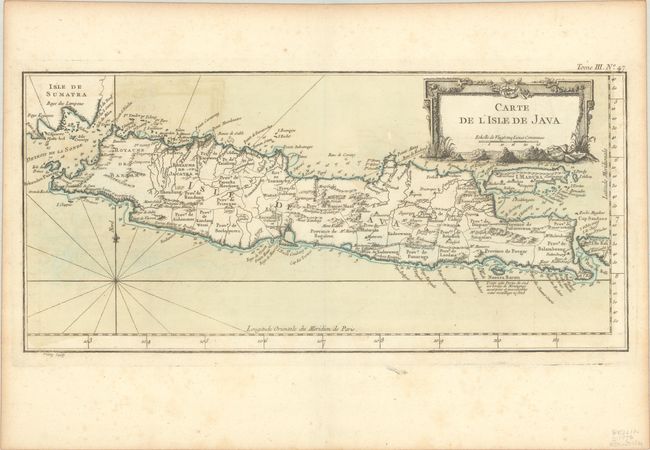
Subject: Java, Indonesia

Period: 1764 (circa)

Publication: Petit Atlas Maritime

Color: Hand Color

Size:
16.8 x 7.8 inches
42.7 x 19.8 cm
Download High Resolution Image
(or just click on image to launch the Zoom viewer)

Attractive chart of the island depicting soundings around the coast, all principal harbors, rivers and elevations, bays and points, settlements and provinces. Included are Madura, Bali, Sunda Strait and the southeastern tip of Sumatra. The island is divided into provinces and the kingdoms of Bantam, Tsieribon and Jacatra. A simple fleur-de-lis and decorative title cartouche complete the map.

References:

Condition: B+

Contemporary color with light offsetting and foxing.

Estimate: $180 - $210

Sold for: $130

Closed on 6/22/2022

Archived