Catalog Archive
Auction 188, Lot 649

"Empire de la Chine", Aa, Pieter van der

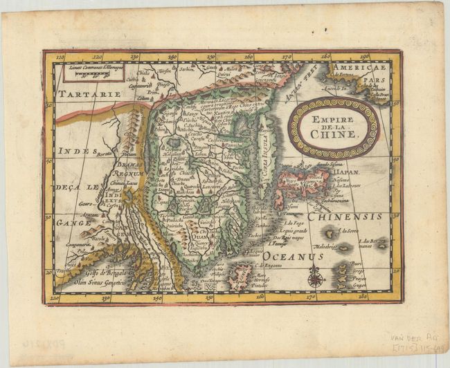
Subject: China, Korea & Japan

Period: 1714 (published)

Publication: Atlas Soulage

Color: Hand Color

Size:
7.4 x 5.2 inches
18.8 x 13.2 cm
Download High Resolution Image
(or just click on image to launch the Zoom viewer)

Rare map of the region based on the folio map by Jodocus Hondius. The detail includes the eastern part of China (bounded in the west by the Great Wall) dominated by several large lakes and major rivers, Korea as a strangely shaped island, as are the three main islands of Japan.

This is an extremely rare variant of Pieter van den Keere's map first published in Jansson's new Atlas Minor in 1628. This map appeared in Van der Aa's Nouveau Petit Atlas, which was published circa 1714. The atlas was composed of nine parts, with the general portion falling under Nouveau Petit Atlas and then 8 individual regional parts under the title Atlas Soulage. Van der Aa revised the plate by updating the title cartouche (in French with a new border) and making other small changes. The atlas was only issued once and there is only one known complete copy extant, in the University Library of Leiden.

We have only seen two other examples of this map offered in the market in the last 30 years, both in our auction - click here to view.

References: Van der Krogt (Vol. III) #8410:352.2.

Condition: A

A sharp impression with a hint of toning and marginal foxing.

Estimate: $700 - $900

Sold for: $500

Closed on 6/22/2022

Archived