Catalog Archive
Auction 188, Lot 409

"Prussia Accurate Descripta a Gasparo Henneberg Erlichensi", Jansson, Jan
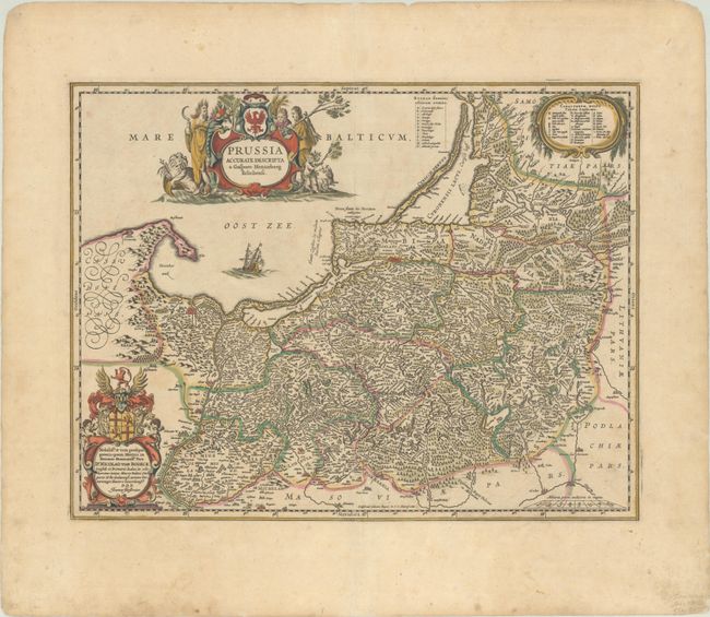
Subject: Baltic

Period: 1660 (circa)

Publication:

Color: Hand Color

Size:
19.3 x 14.9 inches
49 x 37.8 cm
Download High Resolution Image
(or just click on image to launch the Zoom viewer)

This superb map of the Prussian Empire covers present day Poland, Lithuania, and the Russian enclave of Kaliningrad (here Koningsperg). The map is filled with detail of towns, political boundaries, rivers, lakes, and forests. This is the second state of the map with a dedication to Nicolaus von Bodeck at bottom left. Blank verso.

References: Van der Krogt (Vol. I) #1720:1B.2.

Condition: B+

Contemporary color on watermarked paper with light scattered foxing and a professionally repaired centerfold separation at bottom that enters 2.5" into map image.

Estimate: $400 - $475

Sold for: $300

Closed on 6/22/2022

Archived