Subject: Upper Midwestern United States
Period: 1867 (published)
Publication:
Color: Black & White
Size:
11.4 x 14.2 inches
29 x 36.1 cm
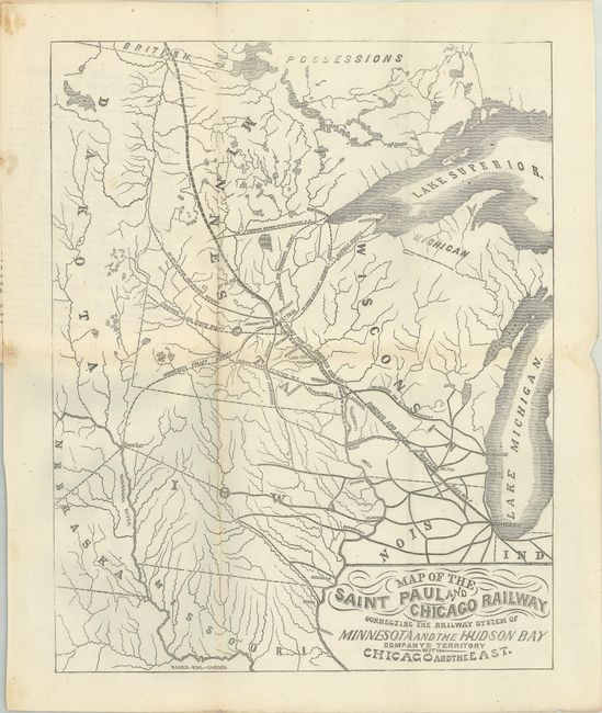
This map by Baker Engineering presents the railroad network from the Canadian border south to Missouri and from Chicago west to the Dakotas and Nebraska. The proposed line of the St. Paul & Chicago Railway extends from St. Paul to Winona, a distance of about 100 miles. The map is a pre-fire Chicago imprint likely inserted into the published prospectus. Karrow’s list Made in Chicago: Maps and Atlases Printed in Chicago Before the Fire, includes other titles by Baker, but not this one. The crudely printed prospectus notes the company’s plan was to duplicate in Minnesota the success of the Illinois Central railroad in stimulating Illinois’ growth. Not in Modelski.
References: Eberstadt #167-317.
Condition: B+
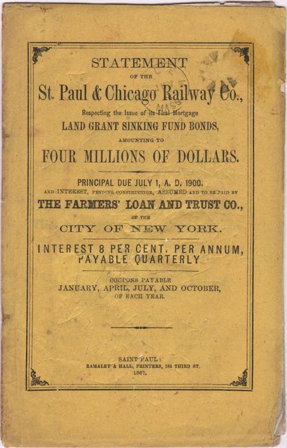
The folding map is clean and bright with one short fold separation closed on verso with archival tape. There is minor staining in the far left blank margin where the map was glued to the report. The fragile wrappers have light wear, minor soiling, and a small stamp on the front wrapper.