Catalog Archive
Auction 188, Lot 135

"The United States of America, Drawn from the Latest Authorities", Conder, Thomas

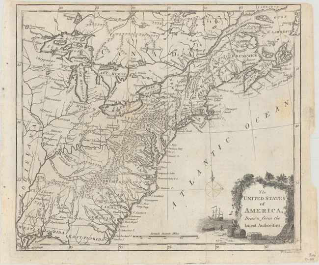
Subject: Eastern United States

Period: 1791 (circa)

Publication:

Color: Black & White

Size:
8.9 x 7.7 inches
22.6 x 19.6 cm
Download High Resolution Image
(or just click on image to launch the Zoom viewer)

An early map of the United States with its western boundary along the Mississippi River. The original 13 states and Vermont are shown confined to east of the Allegheny Mountains with Main attached to Massachusetts. Further west, Indian tribes dominate the map with only a few forts located including Fort Detroit, Joseph and Miami. Florida is divided between East and West. In Lake Superior, the fictitious islands of Phillipeaux and Pontchartrain are located. Adorned by a decorative title cartouche in the lower right corner.

References:

Condition: B+

Issued folding with a couple of faints spots and two short fold separations confined to the bottom blank margin.

Estimate: $140 - $170

Sold for: $100

Closed on 6/22/2022

Archived