Subject: School Atlases
Period: 1821 (dated)
Publication:
Color: Hand Color
Size:
6.3 x 9.5 inches
16 x 24.1 cm
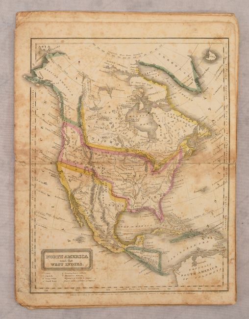
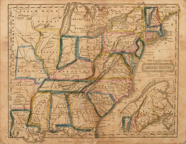
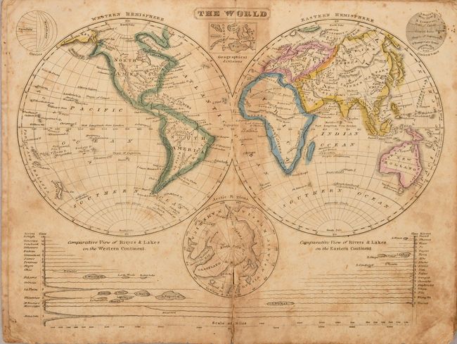
Complete, early school atlas containing the nine double-page hand colored maps called for on the title page. The atlas contains the following maps: double hemisphere world; thematic world map describing the prevailing religions, form of government, and degree of civilization; North America; United States; South America; Europe; Asia; Africa; and another thematic map showing the climate and production around the world. Both thematic world maps are drawn on Mercator's Projection. The map of North America shows a large United States Territory that stretches to the Pacific Ocean and extends well into present-day British Columbia. Texas is named in Mexico, which occupies the entire Southwest and California. The maps are dated 1821-23. Published by Oliver D. Cooke & Co.
References:
Condition: B
There is moderate foxing, some light toning along the centerfolds, and several short centerfold separations at bottom. Wrappers are soiled and partially detached.