Subject: France, Atlases
Period: 1690 (published)
Publication:
Color: Black & White
Size:
7.6 x 9.8 inches
19.3 x 24.9 cm
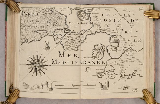
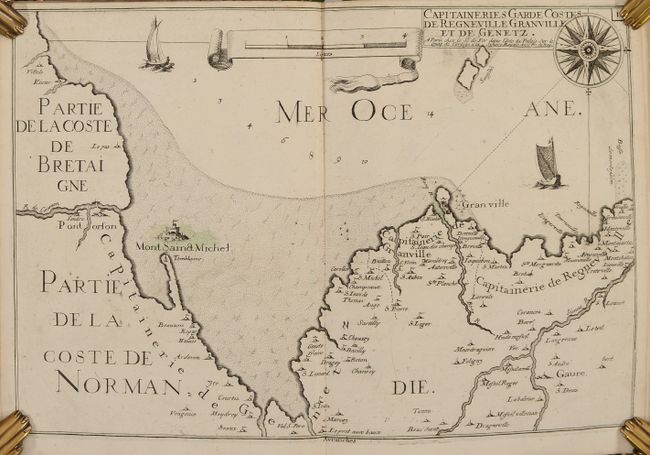
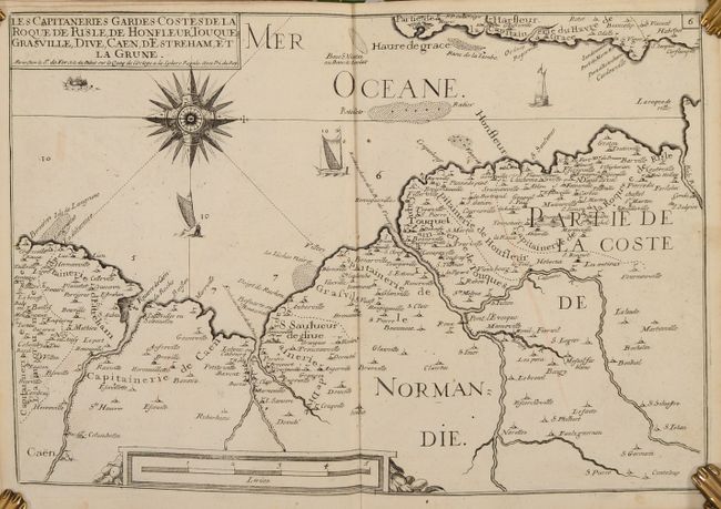
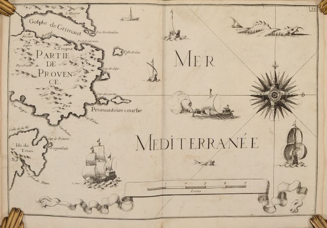
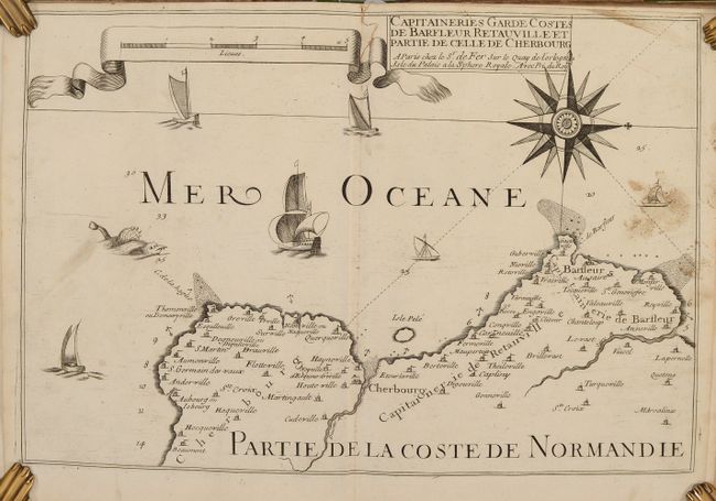
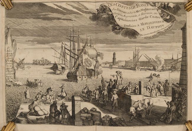
This is the first edition of the first atlas published by Nicolas de Fer, which he created shortly after becoming the official geographer to the French Dauphin. The maps were originally published in Tassin's Cartes Generales et Particulieres de Toutes les Costes de France in 1634, after which the plates were sold to Antoine de Fer, Nicolas' father. Nicolas updated the maps by including more towns, revising decorative elements, and adding new titles to indicate the Capitaineries Garde-Costes that had been established in 1676. The atlas includes 30 double-page charts of the coasts of France and is divided into two parts: the Atlantic coast and the Mediterranean coast. Each chart was drawn on the same scale and includes excellent navigational information and details of the cities, rivers and topography along the coast. The charts also feature elaborate embellishments, including a large compass rose, a scroll distance scale, ships and sea monsters. The volume also includes a 38-page introduction with additional navigational information.
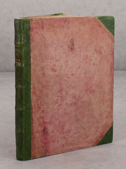
Quarto. Engraved double-page frontispiece; engraved divisional title page; 38 pp. text; table; 30 double-page charts mounted on guards. This example does not include the folding general index chart of France or the engraving of a wind rose. Hardbound in quarter green leather with tips over paper-covered boards, with raised bands and red leather title label with "Cotes de France" in gilt on spine.
References: Pastoureau, FER VIII A.
Condition: B+
The maps are in very good condition with nice impressions, light soiling, occasional offsetting, and a tiny worm hole in the top corners of the maps. A few maps have a bit of contemporary coloring. The text is lightly toned with a bit of soiling. The frontispiece has light soiling and an archivally repaired centerfold separation at bottom. The covers show light wear.