Subject: References, Africa
Period: 1963-72 (published)
Publication:
Color: Black & White
Size:
7.3 x 9.8 inches
18.5 x 24.9 cm
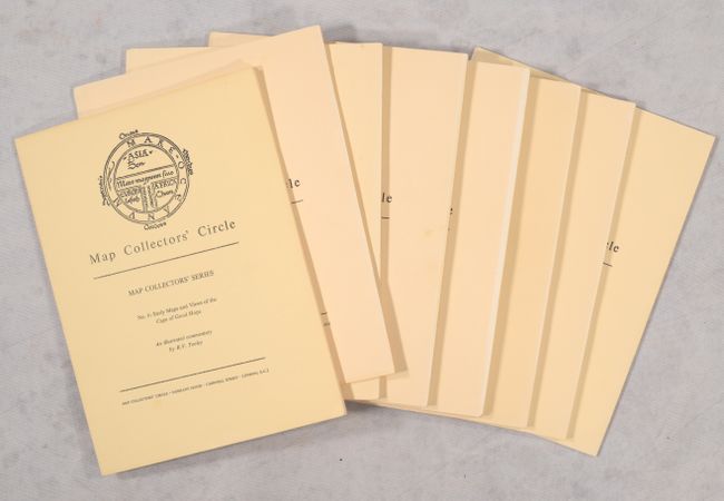
Map Collectors' Circle contains what is still the broadest reaching series of cartographic bibliographies. The series was initiated, edited, and published by the most highly regarded map expert of the 20th Century, Mr. Ronald V. Tooley.
This lot includes eight volumes covering the mapping of Africa. Taken together, the volumes list hundreds of maps and feature numerous black & white plates. Soft paper covers.
A. No. 6: Early Maps and Views of the Cape of Good Hope, by R.V. Tooley, published 1963.
B. No. 17: The Cape of Good Hope 1782-1842 from De la Rochette to Arrowsmith, by D. Schrire, published 1965.
C. No. 29: Printed Maps of the Continent of Africa and Regional Maps South of the Tropic of Cancer Part I. 1500-1600, by R.V. Tooley, published 1966.
D. No. 30: Printed Maps of the Continent of Africa Part II. 1500-1600 Regional Maps South of the Tropic of Cancer, by R.V. Tooley, published 1966.
E. No. 47: Maps of Africa - A Selection of Printed Maps from the Sixteenth to the Nineteenth Century Part I, by R.V. Tooley, published 1968.
F. No. 48: Maps of Africa - A Selection of Printed Maps from the Sixteenth to the Nineteenth Century Part 2, by R.V. Tooley, published 1968.
G. No. 61: Printed Maps of Southern Africa and Its Parts, by R.V. Tooley, published 1970.
H. No. 82: A Sequence of Maps of Africa, by R.V. Tooley, published 1972.
References:
Condition: B+
Contents are very good, with some creased corners in No. 17. Covers are slightly sunned with minor wear. The spines of Nos. 47, 48, and 61 are reinforced with tape.