Subject: References, China
Period: 1998 (published)
Publication:
Color: Printed Color
Size:
9.8 x 13 inches
24.9 x 33 cm
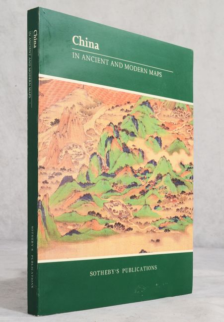
Published by Sotheby's Publications, this remarkable reference was compiled by China's Research Institute of Surveying and Mapping. According to the author's note, "The ancient Chinese made the world's first maps and in mapping theory and technique, they once led the world." This volume seeks to celebrate that legacy and traces the history of Chinese mapping from 475 B.C. to 1911. The book features 166 maps, reproduced in black & white and color, organized by dynasty, and accompanied by text. Several of the maps shown here are state-protected and therefore rarely seen or reproduced. An essential reference for collectors interested in China. Translated by Chen Gengtao and Wang Pingxing. 287 pp. Soft illustrated covers.
References:
Condition: A
Contents are near fine with minor shelf wear.