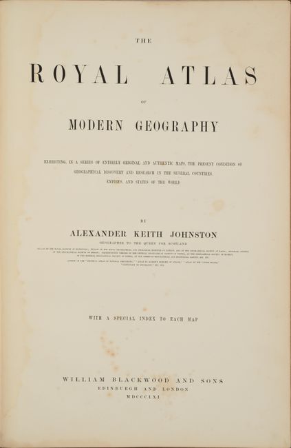
Subject: Atlases
Period: 1861 (published)
Publication:
Color: Hand Color
Size:
13.4 x 19.9 inches
34 x 50.5 cm
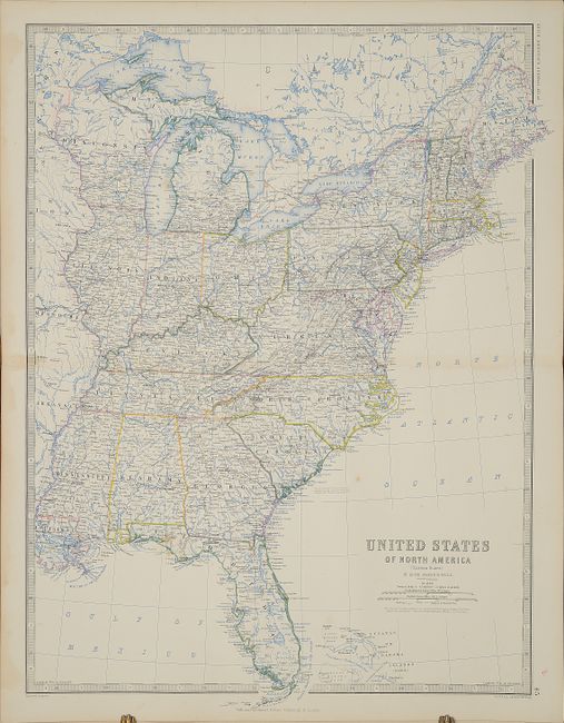
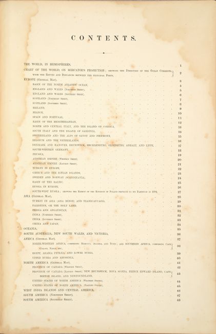
This complete atlas contains 48 double-page maps including the world (2), Europe (25), Asia (7), Africa (4), Americas (8), and Australia (2). Each map is filled with extensive detail and crisply engraved lines. Of particular interest are the maps of the western United States and North America.
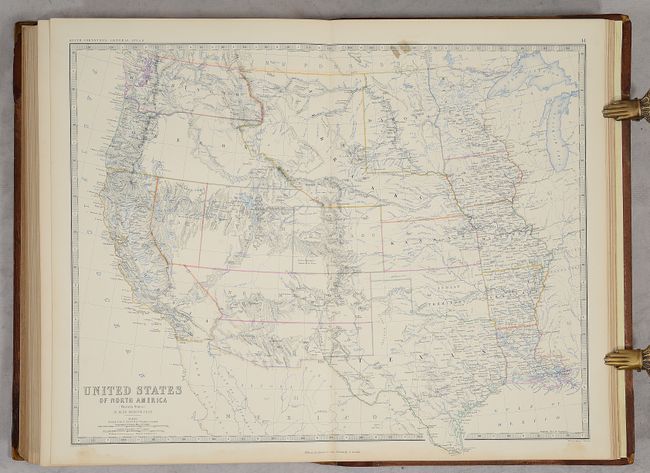
United States of North America (Western States) shows an interesting period in America's westward expansion and state development. Washington and Oregon Territories extend to the Continental Divide, incorporating the region that would become Idaho. The large Nebraska Territory stretches from the Continental Divide to the northern border of Kansas, with Dakota territory to the north. The large territory of New Mexico extends from Texas to California, including the southern tip of Nevada, and the Confederate Territory of Arizona extends south of New Mexico. The oversized Utah Territory still contains a portion of Nevada with the boundary on 116°; this border will in two steps move to its final position at 114°. Oklahoma and its panhandle are Indian Territory.
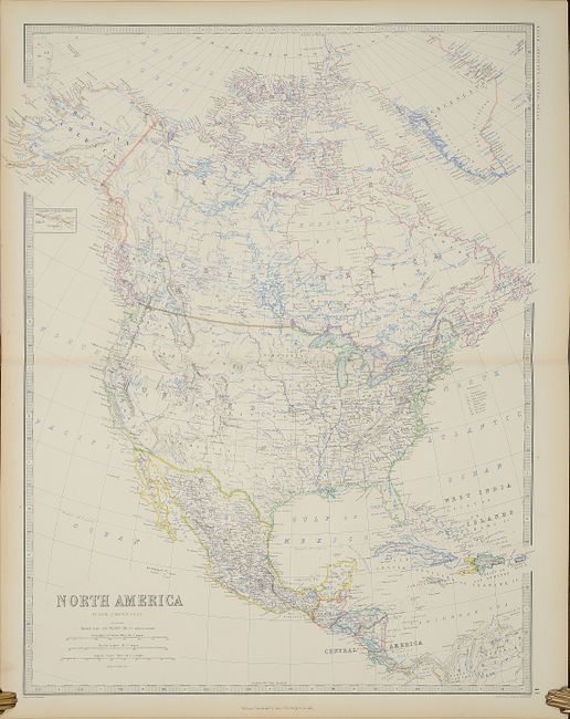
North America shows different state and territory configurations, with Utah encompassing Nevada, New Mexico encompassing Arizona, and Nebraska and Minnesota Territories filling the Upper Midwest.
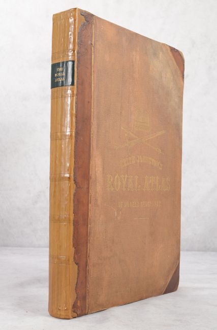
The maps are printed on one-side only and bound on tabs in the atlas. Each map is surrounded by a decorative keyboard-style border and is followed by a detailed index. Small elephant folio. Hardbound in partially new quarter leather and tips over original tan cloth-covered boards with gilt title on front cover and new black leather title label on spine. Advertisements tipped in at rear.
References:
Condition: A
The maps are on clean, bright sheets with contemporary hand color and nearly all in excellent condition with minor toning or soiling in the blank margins. A few maps at the beginning of the volume have light dampstains that enter the bottom border, and a few maps have a couple of spots of foxing or soiling. The dampstains primarily affect the title pages, dedication, preface, and table of contents, and these pages also have scattered foxing. The volume has been professionally rebound using the original covers and part of the leather along the spine and tips. The covers are stained but still very sound.