Catalog Archive
Auction 186, Lot 52
NO RESERVE
"Polar-Karte Enthaltend: die Lander u. Meere vom Nord-Pol...", Stieler, Adolph
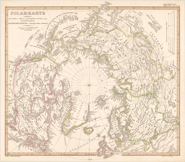
Subject: North Pole
Period: 1850 (dated)
Publication: Stieler's Hand-Atlas
Color: Hand Color
Size:
14.8 x 13.4 inches
37.6 x 34 cm
Download High Resolution Image
(or just click on image to launch the Zoom viewer)
(or just click on image to launch the Zoom viewer)