Catalog Archive
Auction 186, Lot 464
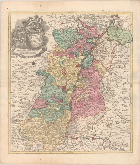
"Superioris Atque Inferioris Alsatiae Tabula Perquam Accurata et Exacta, Proximis Regionib...", Lotter, Tobias Conrad

Subject: France & Germany, Rhine River
Period: 1760 (circa)
Publication:
Color: Hand Color
Size:
19.1 x 21.8 inches
48.5 x 55.4 cm
Download High Resolution Image
(or just click on image to launch the Zoom viewer)
(or just click on image to launch the Zoom viewer)

