Subject: Northeastern Minnesota
Period: 1903 (dated)
Publication:
Color: Printed Color
Size:
18.5 x 22 inches
47 x 55.9 cm
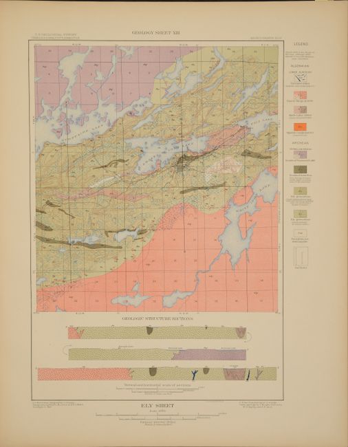
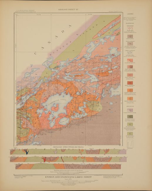
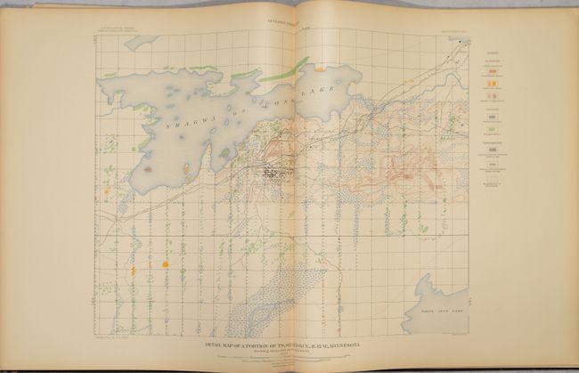
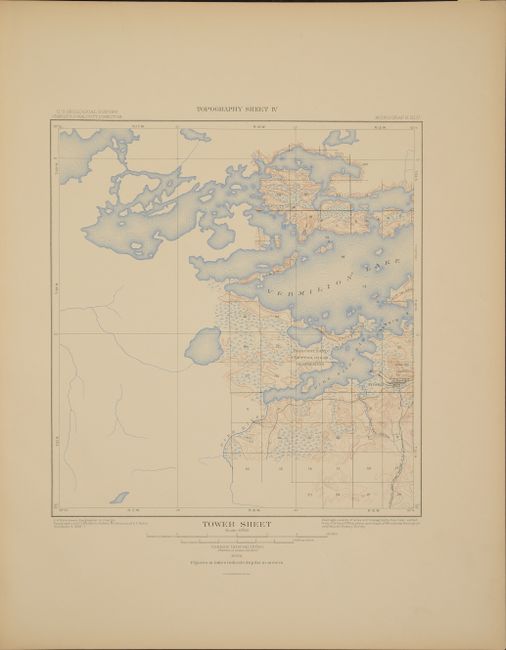
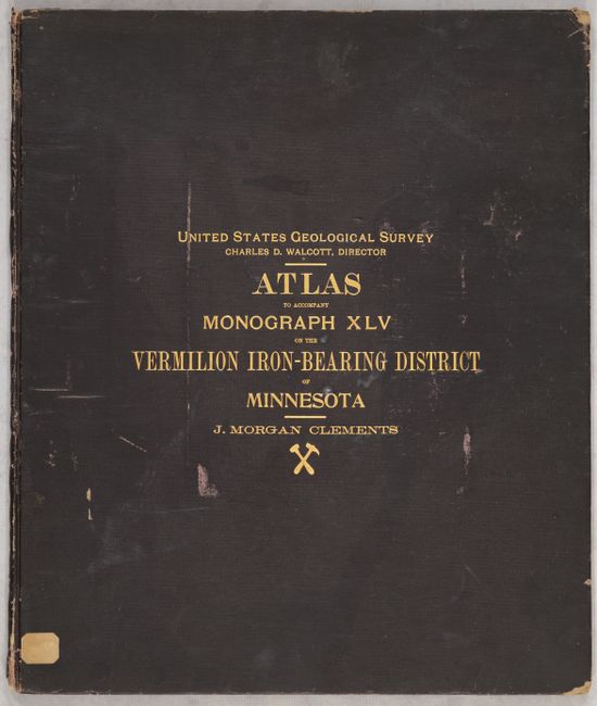
This large atlas accompanied J. Morgan Clements monograph examining the geology of Vermilion range, a mineral rich area extending between Tower and Ely in northeastern Minnesota. Along with the Mesabi and Cuyuna ranges, this region is more commonly known as the Iron Range of Minnesota. The atlas contains a total of 23 plates including 7 detailed topographical maps of the area, 7 corresponding geological maps with cross-sections, and 9 detailed maps including both topographical and geological data. Of particular interest is Geology Sheet #13, which locates 5 mines in the vicinity of Ely including Chandler, Pioneer, Zenith, Sibley and Savoy. The mines in this area, known as the Ely Trough, produced 70 million metric tons of iron in its heyday before the last mine was closed in 1964. Hardbound in brown cloth with gilt stamped title on the front cover. Elephant folio.
References:
Condition: A
Condition code is for the plates, which are clean and colorful with a hint of pleasant light toning. Front endpaper is creased and chipped. Hinges are starting, covers are lightly worn, and the spine is chipped at the head and tail.