Subject: Western Hemisphere - America
Period: 1889 (circa)
Publication:
Color: Printed Color
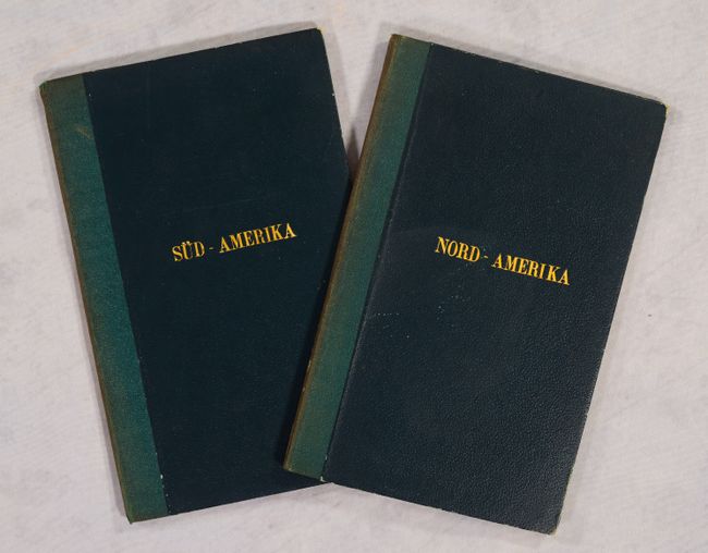
A matching pair of maps for the German traveler, both issued folding in green and black cloth-covered boards with gilt titling on front covers. Both maps have excellent detail of travel routes by road, rail, and ship.
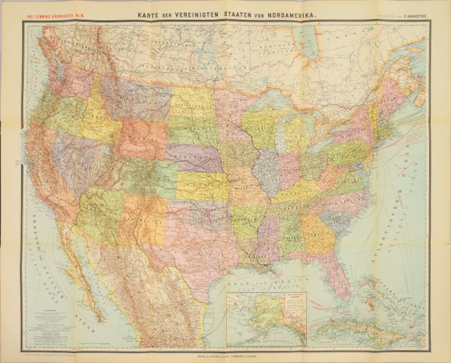
A. Karte der Vereinigten Staaten von Nordamerika, (32.1 x 25.8"). Oklahoma is divided into Indian Territory and Public Lands. The cities with German consulates are identified with black underlining.
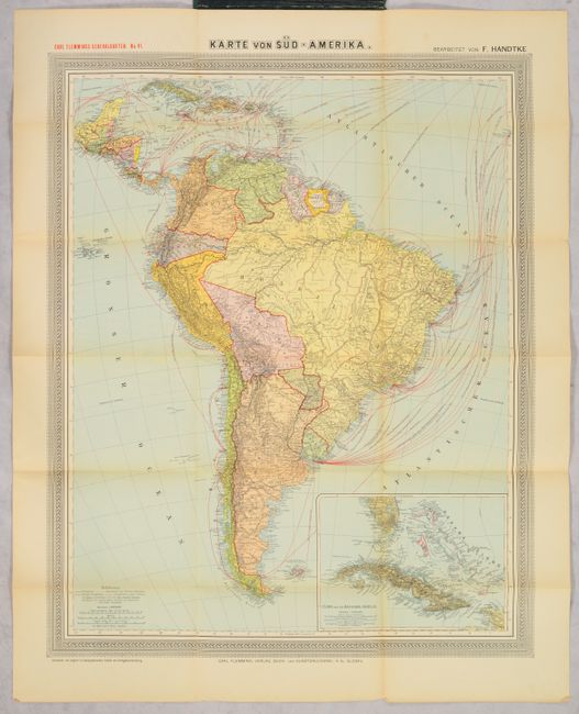
B. Karte von Sud-Amerika, (24.6 x 30.3"). An inset depicts southern Florida, Cuba and the Bahamas. The map is surrounded in a decorative border.
References:
Condition: B+
Minor toning with a few tiny splits at fold intersections. The covers are lightly worn and the back covers are beginning to detach.