Subject: School Atlases
Period: 1825 (published)
Publication:
Color: Black & White
Size:
7 x 8.3 inches
17.8 x 21.1 cm
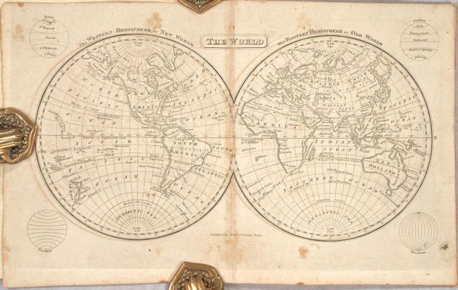
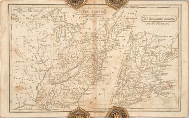
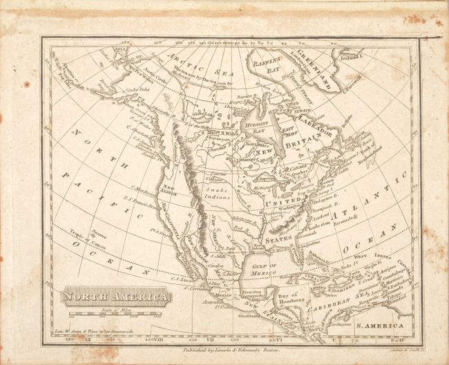
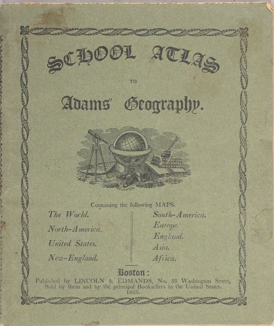
This uncommon atlas contains six single-page and two double-page copper engraved maps, with the maps of the United States and New England sharing a double-page sheet. Each map is well detailed and shows topography, rivers, towns and more. The map of the United States depicts East Florida and West Florida, a large Arkansas Territory occupies present-day Oklahoma, and Missouri is identified as both a state and a territory. A large, unnamed Northwest Territory occupies the region from Lake Michigan to Lake of the Woods. Original stiff paper wrappers with decorative title printed in black ink. Published by Lincoln & Edmands and "Sold by them, and by the principal Booksellers in the United States."
References:
Condition: B
There is light to moderate toning, foxing, and offsetting. Paper wrappers have minor wear and soiling.