Subject: Atlases, Texas
Period: 1850 (published)
Publication:
Color: Hand Color
Size:
9.8 x 12.1 inches
24.9 x 30.7 cm
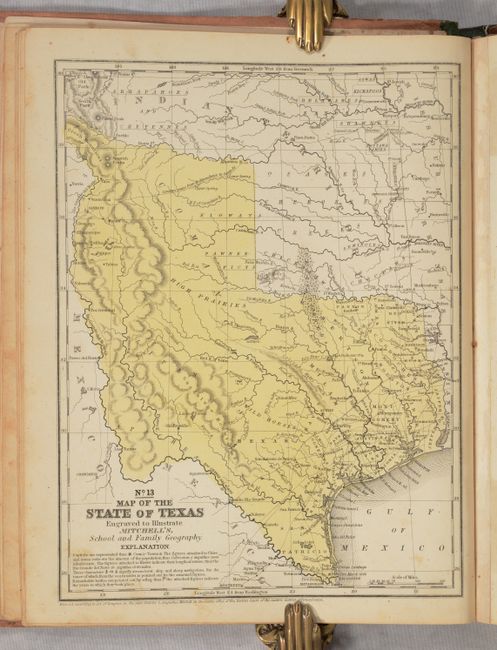
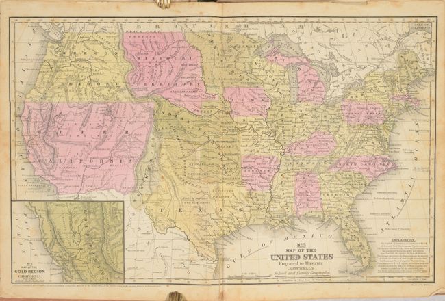
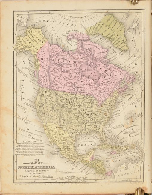
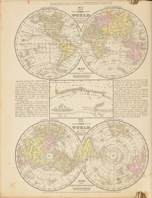
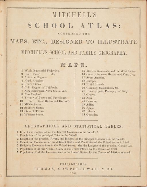
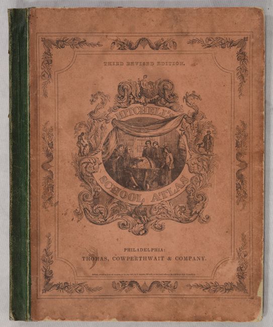
This is the third edition of Mitchell's school atlas, complete with 28 maps on 12 single-page and 5 double-page sheets. Of particular interest is the map of Texas, featuring the "stovepipe" configuration showing Texas at its largest extent when first admitted to the Union. It shows the western boundary at the Rio Grande del Norte, putting Santa Fe in Texas. Part of Texas continues to the northwest above Taos in an area labeled the Green Mountains. This edition is the first to name Dallas. Also of interest is the map of the United States, the first edition to show the important territorial acquisitions of the Mexican-American War, pre-Gadsden Purchase plus the newly discovered gold region in California. The recently acquired Upper California and New Mexico are still shown in their Mexican configurations. Hardbound with pictorial paper over boards. Published by Thomas, Cowperthwait & Co.
References:
Condition: B
The maps are good to very good with light toning, occasional scattered foxing, and minor soiling. The maps are partially loose with the lower binding stitches missing. Boards are worn and soiled.