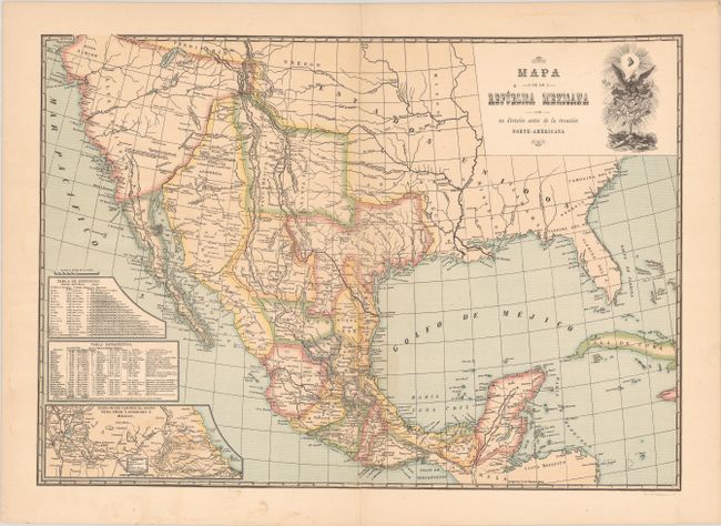
Subject: Southern United States & Mexico
Period: 1880 (circa)
Publication:
Color: Printed Color
Size:
16 x 11.3 inches
40.6 x 28.7 cm
This historical map shows the political divisions within Mexico prior to the "North American Invasion." This reference applies to the Mexican-American War (1846-48) and likely also to the early Anglo-American settlements in Texas as there is no mention of Austin's Colony or any other land grants in east Texas. Mexico's northern border is shown along the 42nd parallel reflecting the boundary established by the Adams-Onis Treaty (1819). Features a table of distances, population table, and inset map stretching from Mexico City to Vera Cruz. Lithographed by Espasa.
References:
Condition: B+
There is some minor dampstaining along the centerfold and short centerfold separations confined to the top and bottom blank margins that have been closed on verso with archival tape.


