Subject: Texas Cities
Period: 1947-55 (dated)
Publication:
Color: Printed Color
This lot contains four maps by J. Foster Ashburn out of Fort Worth, who produced maps mostly of cities in Texas and the South. They are easily distinguished by their bright coloring and the frequent illustrated main titles done by Melvin Warren who became a noted Western artist. Unlike most mapmakers of the period, Ashburn was “vertically integrated,” handling all the production work in house, including printing.
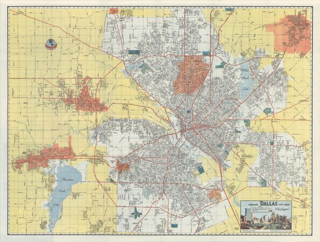
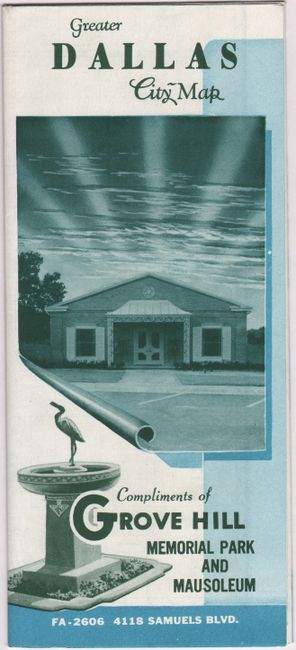
A. Ashburn's Dallas City Map dated 1955 (23.9 x 18.1"). A colorful map of the Dallas region in Ashburn's distinctive style. Adjoining municipalities are highlighted in orange, outside of city limits in yellow, and airports and cemeteries in green. Includes a small illustration of the Dallas skyline at bottom. Verso contains advertisements for Grove Hill Memorial Park, a map of the business district, and street index. Self-folding (4.2 x 9.5"). Condition: Fine. (A+)
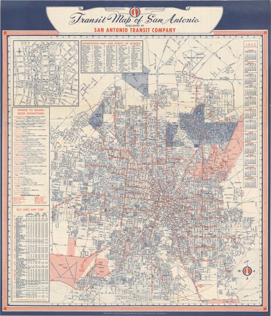
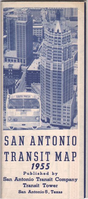
B. Transit Map of San Antonio dated 1955 (20.3 x 23.2"). A detailed map of San Antonio showing the street-grid pattern of the city with concentric circles radiating from downtown indicating distance and 79 points of interest keyed to the map. Includes an inset of downtown, bus schedule, and calendar. Illustration and text on verso indicate that the city’s population increased by 85% between 1940 and 1954. Self-folding (3.5 x 8.0"). Condition: Fine (A+)
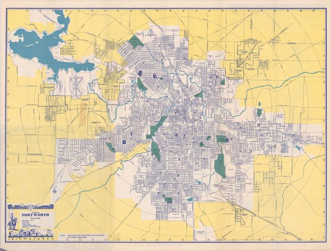
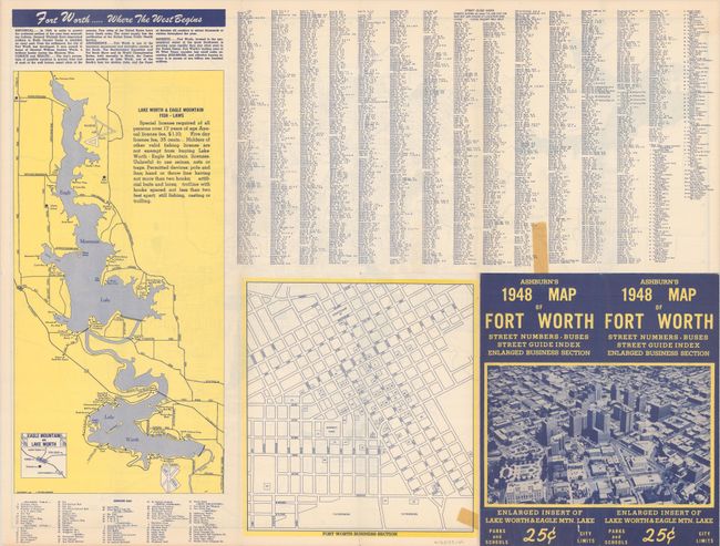
C. Ashburn's Fort Worth Revised Map dated 1947 (24.3 x 17.8"). This map of Fort Worth extends to include the surrounding region with Ashburn's distinctive bright yellow indicating non-city limits. The title at lower left features a cowboy looking at the modern skyline. Verso includes maps of the business section and both Eagle Mountain Lake and Lake Worth. Self-folding (4.1 x 9.5"). Condition: There is an edge tear confined to the bottom blank margin and a couple of pieces of old tape on verso. (B)
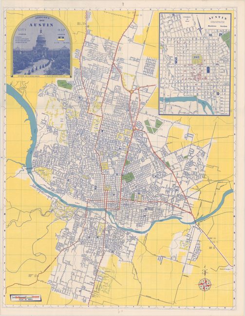
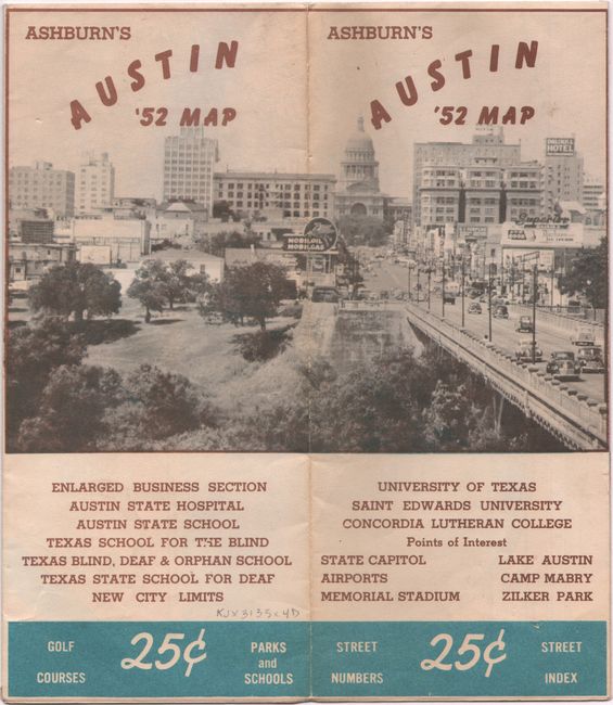
D. Ashburn's 1952 Austin City Map dated 1952 (16.4 x 21.1"). Presents the street-grid pattern of the city with an inset map of downtown at top right. The title at top left is surrounded by a photographic illustration of the state capitol. Austin’s population at the time was about 132,000. The verso includes a street index and bird’s-eye view of the University of Texas. Self-folding (3.7 x 8.5"). Condition: Clean and colorful. Minor toning to self-wrappers. (A)
References:
Condition:
Issued folding. See description above.