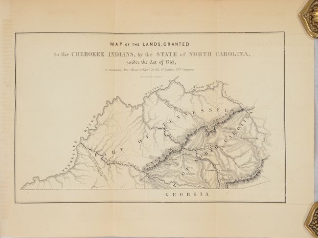
Subject: Western North Carolina
Period: 1846 (published)
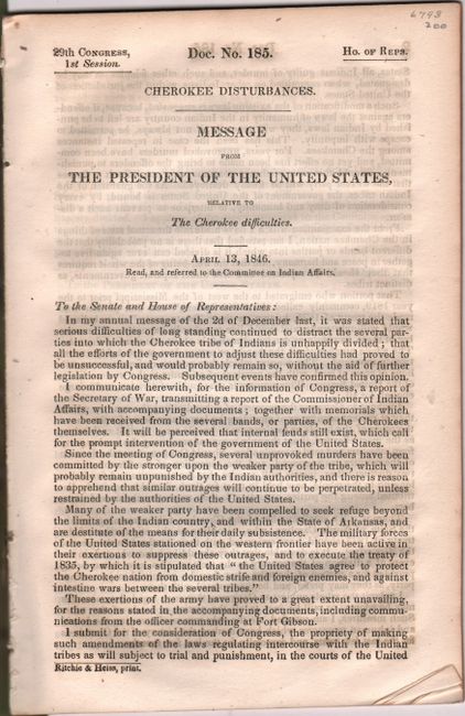
Publication: H.R. Doc. 185, 29th Congress, 1st Session
Color: Black & White
Size:
9.9 x 6.2 inches
25.1 x 15.7 cm
This small map shows the Cherokee lands of western North Carolina. It locates a number of Cherokee villages including Tawuntoe, Sugar Town, Eones and Tuckalechee to name a few. The map also notes a "Division Line in 1809 between the Upper and Lower Towns," referring to a boundary within the Cherokee nation delineating those who wanted to establish a government (upper towns) and those that wanted to live traditionally (lower towns). The map is still bound in the back of a 233-page report concerning "Cherokee Disturbances," with President Polk bluntly remarking "the Cherokees have been regarded as among the most enlightened of the Indian tribes; but experience has proved that they have not yet advanced to such a state of civilization as to dispense with the guardian care and control of the government of the United States." Octavo, disbound. Housed in archival paper covers with handwritten label.
References:
Condition: B+
The folding map has light toning and faint offsetting. Disbound text is mostly clean and bright.