Subject: Central Greece
Period: 1528 (published)
Publication: Isolario
Color: Black & White
Size:
5.8 x 3.3 inches
14.7 x 8.4 cm
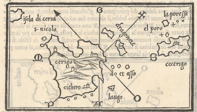
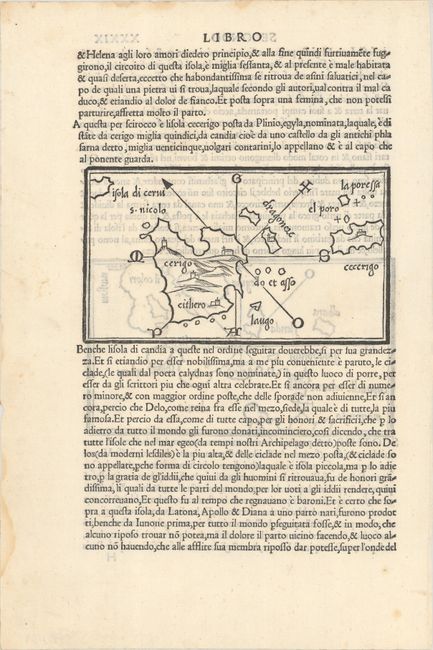
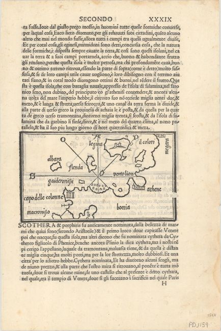
This sheet from Bordone's Isolario features two simple and elegant woodblock maps. On recto is a map of the Saronic Gulf that names Athens, Boeotia, Aegina, and capo delle colonne (Temple of Poseidon, Sounion), which is represented by three Doric columns. On verso is a map of Cythera and smaller surrounding islands. Bordone was an illuminator and wood-engraver, working in Venice, when he was given permission by the Senate in 1508 to print maps of Italy and the world. None of those maps have survived and his only remaining works are the maps from his Isolario. Isolario, (which translates as "book of islands," was the first atlas covering the entire world based on contemporary information rather than classical geography. It included 112 simple and striking maps scattered through the text, depicting islands throughout the world, with a particular emphasis on islands in the Mediterranean Sea. Bordone first published his Isolario in 1528, with further editions in 1534, 1547, and 1565. On a sheet of Italian text measuring 8.0 x 12.1".
References: Mickwitz & Miekkavaara #27-52 & 53; Shirley (BL Atlases) T-BORD-1a #54 & 55.
Condition: A
On watermarked paper with some small dampstains along the sheet's edges, well away from map images.