Catalog Archive
Auction 184, Lot 333

"Neueste Karte von Sud Carolina mit Seinen Canaelen Strassen Dampfschiff Routen und Entfernungen der Hauptpunkte...", Meyer, Joseph

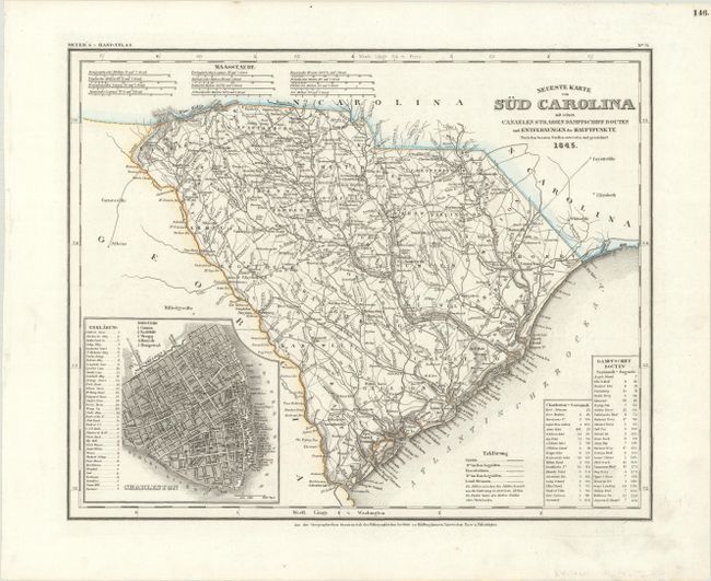
Subject: South Carolina

Period: 1845 (dated)

Publication: Meyer's Hand-Atlas

Color: Hand Color

Size:
14.6 x 11.8 inches
37.1 x 30 cm
Download High Resolution Image
(or just click on image to launch the Zoom viewer)

This is the German edition of the Tanner/Mitchell map from the New Universal Atlas, with a German title but English place names. The map is filled with detail and includes a chart with the routes for the steamboat's travels from Savannah to Augusta and from Charleston to Savannah. The city of Charleston is shown in an inset map to the left. Published by the Hildburghausen Biblio Institut.

References:

Condition: A+

A crisp impression on a clean bright sheet.

Estimate: $140 - $170

Sold for: $110

Closed on 9/15/2021

Archived