Subject: Southern California
Period: 1956 (dated)
Publication:
Color: Printed Color
Size:
21.9 x 18 inches
55.6 x 45.7 cm
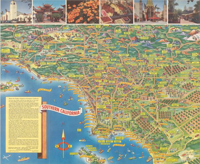
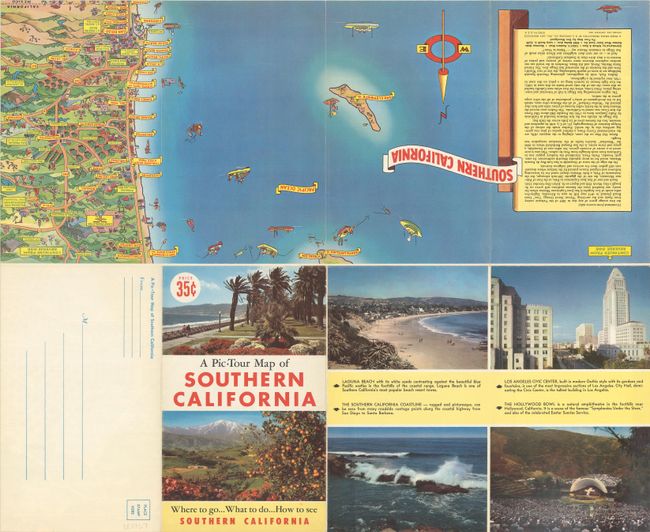
This attractive pictorial map of Southern California was drawn by artist Don Bloodgood and extends from Santa Barbara south to San Pedro Bay and east to Mt. Baldy and Pomona. Positioned among the numerous illustrations are signs identifying towns and cities (red print) and points of interest (green print) including the Warner Brothers Ranch, Hollywood Bowl, Chinese Theater, Huntington Library, Mt. Wilson, Disneyland, and many more. Photo illustrations and "Notes For Today's Explorer of Southern California" further inform the reader. The verso includes a continuation of the map to San Diego and San Clemente Island along with additional text and illustrations. Printed by H.S. Crocker in San Francisco. Self-folding into pictorial wrappers (5.5 x 9.0").
References: Rumsey #9002.
Condition: A+
A clean and colorful example, issued folding.


