Subject: Arkansas
Period: 1835-1902 (circa)
Publication:
Color:
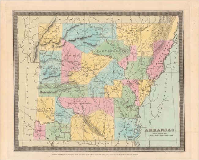
A. Arkansas, by Burr/Illman, from A New Universal Atlas, dated 1835, hand color (12.6 x 10.4"). A scarce map of the territory issued the year before statehood. It is the first map to show Arkansas with these borders including Miller County in the southwest corner, which would eventually be ceded to Texas. It delineates roads, towns, villages and settlements, ports, swamps, salt works, and watershed. There are 23 counties and a road system emanating from Little Rock that is accurate due to Burr’s access to post office information. David Burr was appointed to be topographer to the U.S. Post Office Department in 1832 and was unable to complete the maps for this atlas. Thomas Illman assumed responsibility to complete the atlas, publishing it in 1835. The imprint of Thomas Illman is below the neatline. Condition: A sharp impression in contemporary color with a bit of minor soiling. (A)
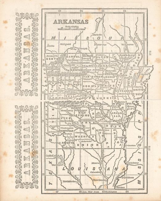
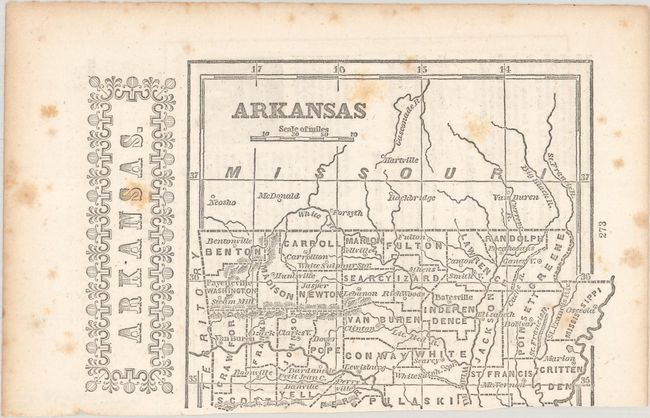
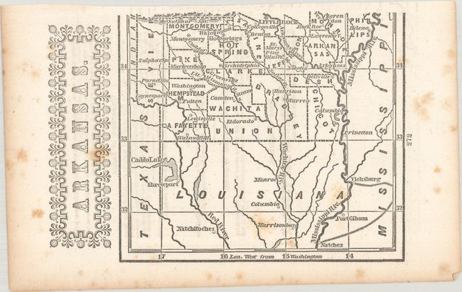
B. [On 2 Sheets] Arkansas, by D.W. Beadle, from The American Lawyer, and Business-Man’s Form-Book…, circa 1851, black & white (5.2 x 8.3"). This simple little map has county development circa 1845. Other than a few towns and rivers there is little other detail. Text on verso describes the state’s “special laws” and it list the population in 1850 as 198,796. Printed on two separate sheets, unjoined; measurement above is for the whole map. The first image of this map is a composite image - the map is in two separate sheets. Condition: Light scattered foxing. (B)
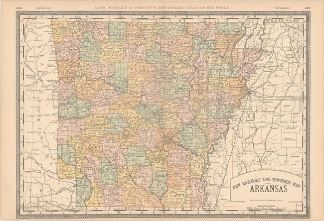
C. New Railroad and Township Map of Arkansas, by Rand McNally, from Rand, McNally & Company's New Indexed Atlas of the World, circa 1895, printed color (18.9 x 13.3"). An up-to-date country map showing recent boundary changes in Scott and Sebastian counties. Condition: There are some short tears along the centerfold at bottom that have been closed on verso with tape. (B)
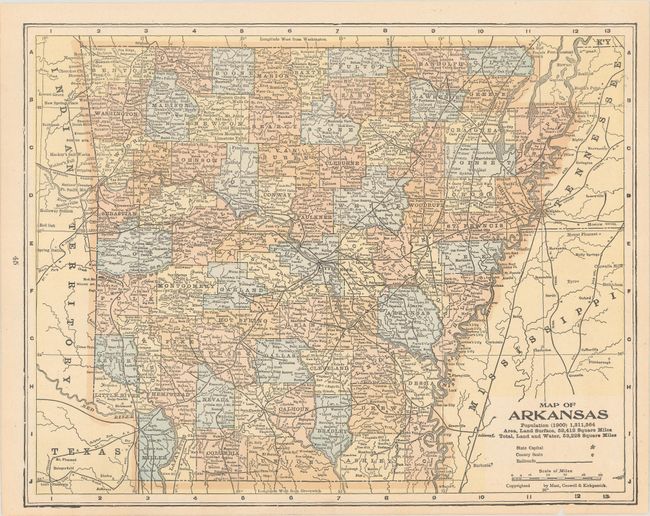
D. Map of Arkansas, by Mast, Crowell & Kirkpatrick, circa 1902, printed color (12.7 x 10.0"). An attractive county map showing the railroad network. It notes the state population in 1900 as 1,311,564. Maps of North and South Dakota on verso. Condition: There is tiny chip and a few edge tears in the bottom margin that cross the neatline, most of which have been closed on verso with tape. (B+)
References:
Condition:
See description above.