Subject: Arizona
Period: 1885-1936 (circa)
Publication:
Color: Printed Color
Description: A nice group of maps showing the development from the territorial period through statehood and into the mid-twentieth century. The maps document the steady growth of the state.
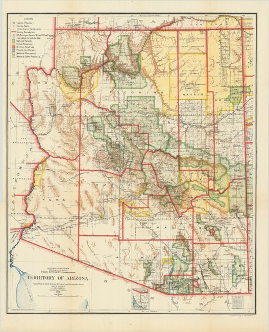
A. Territory of Arizona, by General Land Office, dated 1909 (16.8 x 20.3"). A colorful and detailed map issued three years before statehood. The map details the extent of National Forest (not Forest Reserves as on previous editions), Indian Reservations, Military Reservations, and Private Land Grants. Also includes the new categories of National Monuments and National Game Preserves. Features good detail of the large number of railroads of the day. The large extent of the Grand Canyon Forest Reserve and National Park is delineated. The use of brilliant colors gives this map a vibrant visual impact. Condition: Issued folded with a couple minute fold intersection holes and short fold separations in the blank margins that have been closed on verso with archival tape. (A)
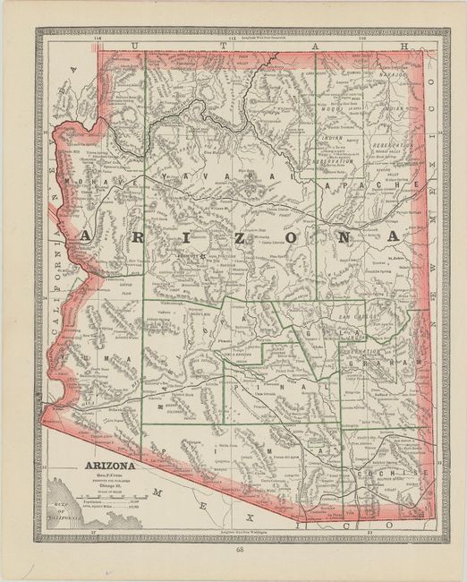
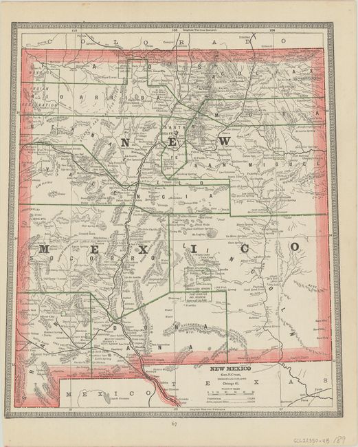
B. Arizona, by George F. Cram, from Cram’s Unrivaled Family Atlas of the World, circa 1885 (9.8 x 12.1"). Detailed wax engraved map printed in two colors. The rugged topography of the territory is highlighted. Several Indian reservations are depicted in addition to the counties. A map of New Mexico is on verso. Condition: A few marks in the margins, otherwise fine.(A)
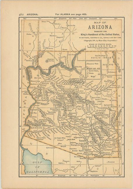
C. Map of Arizona, by Moses King Corporation, from King’s Handbook of the United States, dated 1891 (4.4 x 6.6"). This small map packs in quite a bit of information including towns, Indian reservations, mines, railways, and topography. A map of Alabama is on verso. Published by Matthews, Northrup, & Co. Condition: Lightly toned with a short tear in the left blank margin, closed with archival tape. (B+)
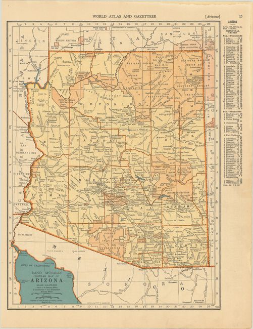
D. Rand McNally Popular Map of Arizona, by Rand McNally & Company, from World Atlas and Gazetteer, circa 1936 (9.3 x 12.4"). With a population of 412,000, the state continues to develop. The map is colored to highlight the Indian reservations. While numerous railroads are depicted, auto or wagon roads are not. Map of Arkansas is on verso. Condition: There is light dampstain along the sheet's edge at top and right, well away from map image. A short edge tear in the right margin has been closed with tape. (A)
References:
Condition:
See description above.