Catalog Archive
Auction 184, Lot 234

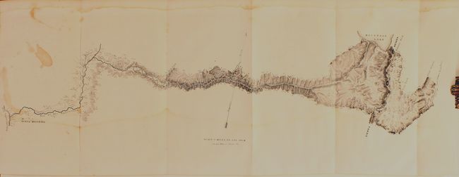
Fremont's Large Map of the American West from his Second Expedition

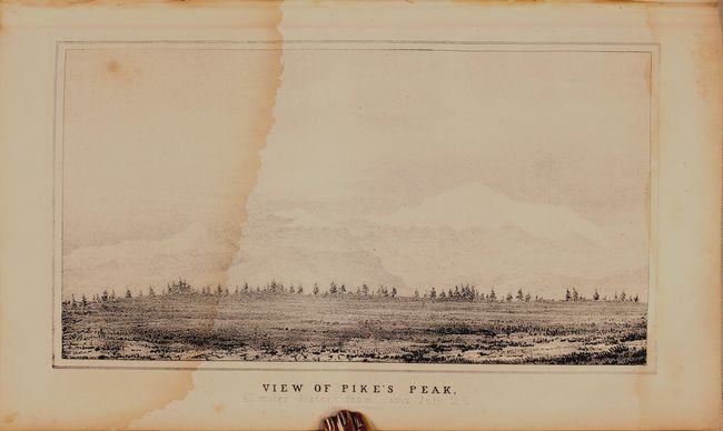
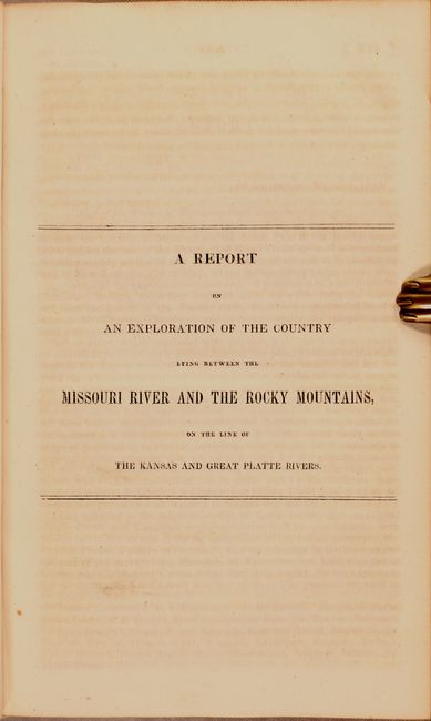
"Map of an Exploring Expedition to the Rocky Mountains in the Year 1842 and to Oregon & North California in the Years 1843-44 [with] A Report of the Exploring Expedition to Oregon and North California...", Fremont/Preuss

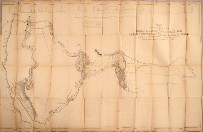
Subject: Western United States

Period: 1845 (published)

Publication: Sen. Ex. Doc. 174, 28th Congress, 2nd Session

Color: Hand Color

Size:
50.8 x 30.6 inches
129 x 77.7 cm
Download High Resolution Image
(or just click on image to launch the Zoom viewer)

John C. Fremont is an important historical figure best remembered for his three explorations of the west in the 1840s. Fremont married Jessie Benton, daughter of Sen. Thomas Hart Benton in 1841. The Senator championed the idea of Manifest Destiny, pushing for national surveys of the West and arranging for his son-in-law to lead them.

From 1842 to 1846 Fremont led three explorations of the west with Kit Carson as guide and Charles Preuss as the topographer. His early route became know as the Oregon Trail and his explorations are credited with encouraging the huge overland migration to the west. He was the first American to see Lake Tahoe, and finally determined that the Great Basin is endorheic, or closed basin with no outlet to the sea.

Fremont went on to become a millionaire, a California senator, a governor to Arizona Territory, the man who is credited with saving Kit Carson's life, and much more, yet died penniless and in virtual obscurity. Some scholars regard Fremont as a hero of significant accomplishment, while others view him as a failure who repeatedly defeated his own best ideals. He remains an enigmatic figure in the history of the United States. Read more of his fascinating story here.

This is the large edition of the influential map which details John Charles Fremont's epic exploration of the American West. Fremont and his traveling companion and topographer, George Carl Preuss, launched the expedition from the frontier settlement of Westport at the juncture of the Kansas and Missouri Rivers. There Fremont first met Kit Carson who signed on as guide to the expedition. Traveling across the Rocky Mountains at South Pass to the Columbia River in Oregon Territory, they then continued south along the Sierra Nevada nearly to the "Pueblo del los Angeles", northeast to Lake Utah and finally east to the Arkansas River. Fremont's map and report had a profound influence on emigration to the Far West as his westward route eventually became the Oregon Trail. Wheat, who called this "an important step forward from the earlier western maps" devoted seven text pages to its description. The map was drawn by Charles Preuss "whose skill in sketching topography...has probably never been surpassed in this country." There is much to study and appreciate in this rare map, but we return to Wheat for this short praise: "To Fremont and his magnificent map of his Second Expedition all praise. This is an altogether memorable document in the cartographic history of the West, and for it alone Fremont would deserve to be remembered in history."

Included is an untitled folding map (23 x 9") showing their route between Mountain Lake (Lake Tahoe) in the Sierra's and Nueva Helvetica. Fremont's party enjoyed a two-week respite as the guest of John Sutter near the famous Sutter's Mill. Also contains an untitled folding map of the Bear River in Utah (8 x 16.5"), and a single page map of The Great Salt - Lake which is an early map of the area including the front of the Wasatch Mountains.

This is the Senate issue. Octavo, hardbound in contemporary leather, 693 pp., 22 plates and 4 maps. The body of the book contains Fremont's two reports, titled "A Report on an Exploration of the Country Lying Between the Missouri River and the Rocky Mountains" and "A Report of the Exploring Expedition to Oregon and North California, in the Years 1843-'44."

References: Howes #F370; Sabin #25845; Wagner-Camp #115.1; Wheat (TMW) #497.

Condition: C+

The large folding map has light toning, faint offsetting, and some dampstaining that is most visible along the left border. There are a number of short splits at the fold junctions and a 5" edge tear at top left that has been closed on verso with archival tissue. Text and plates have light dampstains throughout occupying approximately the lower 3" of the sheet and the top sheet edge (mostly margin). The hinges are very loose (boards still attached), covers are worn and abraded, and the spine is cracked.

Estimate: $600 - $750

Sold for: $700

Closed on 9/15/2021

Archived