Subject: Arkansas, Louisiana & Mississippi
Period: 1940-57 (circa)
Publication:
Color: Printed Color
A trio of attractive early gas station maps filled with nostalgic illustrations and advertisements.
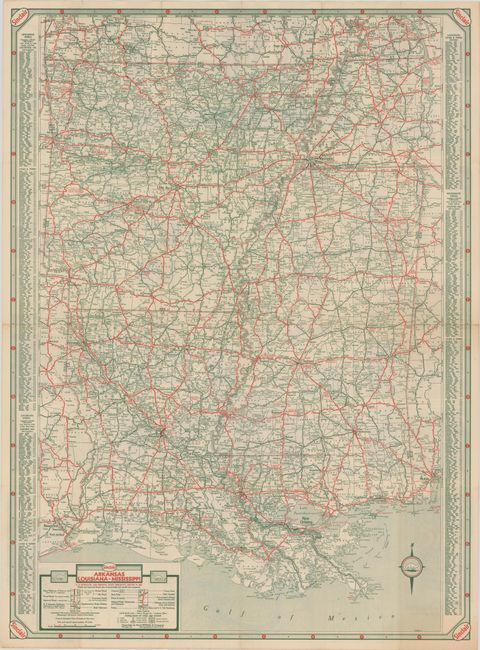
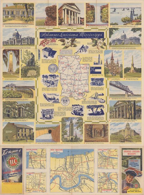
A. Arkansas Louisiana-Mississippi, by Rand McNally & Company, circa 1940 (19.0 x 25.9"). This "Road Map and pictorial Sight-seeing Guide" from Sinclair Gasoline features a detailed road map by Rand McNally with major highways marked in red. On verso is a decorative map showing only the major highways, surrounded by illustrations of points of interest, and five city maps (Baton Rouge, Jackson, New Orleans, Little Rock, and Shreveport).
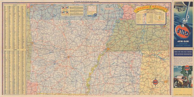
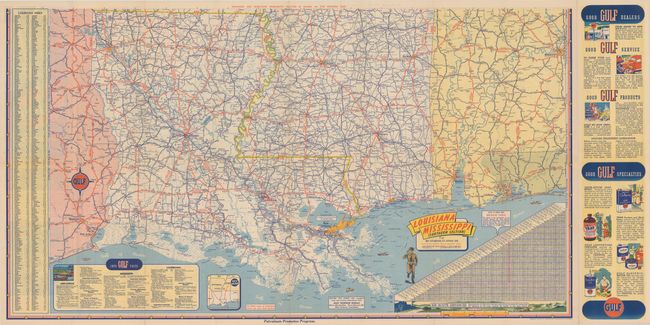
B. Arkansas, Louisiana Mississippi Info-Map, by Rand McNally & Company, circa 1948 (31.3 x 17.2"). Rand McNally designed this vibrant pamphlet and road map for Gulf Oil Corporation. One side covers the northern section and includes parts of the bordering states include a good portion of Tennessee. The other side covers the southern part of the region with parts of Alabama and Texas.
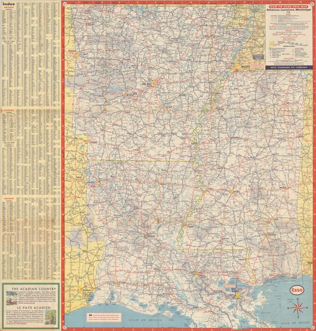
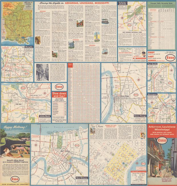
C. Arkansas, Louisiana Mississippi with Special City Maps and Points of Interest Data, by General Drafting Company, dated 1957 (19.3 x 25.2"). This promotional item for Esso features a detailed map of the whole region on one side with points of interest and city maps on the verso. The map was by General Drafting Co., one of the "Big Three" road map publishers in the United States from 1930 to 1970, along with H.M Gousha Co. and Rand McNally.
References:
Condition: A
All folding as issued. All are in near fine condition with marginal toning. The Esso map has one tiny separated fold and “Fite’s Humble Service” stamp on front cover.