Subject: Eastern United States
Period: 1804-15 (circa)
Publication:
Color: Black & White
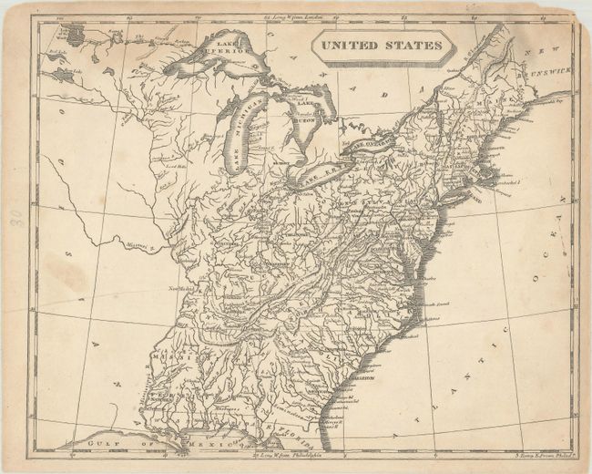
A. United States, by Arrowsmith & Lewis, from New and Elegant General Atlas, circa 1804 (9.9 x 7.9"). This small map depicts the United States confined to east of the Mississippi River, with the recently acquired Louisiana to its west. Florida is divided into East and West, and Mississippi Territory consists of present-day Alabama and Mississippi. To the west of Ohio is an unnamed Indiana Territory with Vincennes as its capital, bounded by the Illinois and Ohio rivers. Louisiana is virtually blank with the exception of the Missouri River. Drawn by Lewis and engraved by Tanner. Condition: Light toning and soiling with some dampstaining at top, an extraneous crease at left, and a chip at top right that just enters the border. (B)
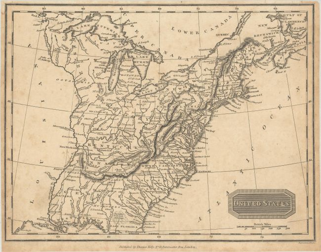
B. United States, by Thomas Kelly, circa 1815 (9.8 x 7.4"). This map shows sixteen states with a large Western Territory occupying the region of today's Ohio, Indiana, Illinois and Wisconsin. Georgia extends to the Mississippi River. The region west of the Mississippi is labeled Louisiana but otherwise devoid of information. Engraved by A. Findlay. Condition: Light toning and foxing, with narrow margins as issued. (B+)
References:
Condition:
See description above.


