Subject: References, North America
Period: 1988-90 (published)
Publication:
Color:
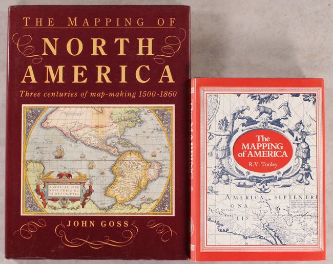
A. The Mapping of America, by R.V. Tooley, published 1988, black & white (7.3 x 10.1"). An excellent reference work detailing the cartographic history of North America. There are essays on French mapping of the Americas, California as an island, Smith's map of Virginia and its many derivatives, marine surveys of James Cook, City Plans, Jansson-Visscher maps of New England, mapping the Great Lakes, maps of America in various editions of Ortelius' Theatrum, and more. Volume 2 in the Holland Press Cartographia series, 519 pp., with 179 uncolored illustrations. Hardbound in blue buckram with gilt titles on spine, and an illustrated dust jacket. Condition: Like new with minor sunning on spine of dust jacket.
B. The Mapping of North America - Three Centuries of Map-Making 1500-1860, by John Goss, published 1990, printed color (10.4 x 14.3"). By focusing on the evolution of mapping, this book reveals how the perceptions of the world changed as more areas were explored. It contains many of the most important and famous maps of the Americas as well as some of the more common nineteenth century examples. 184 pp, introduction plus 85 full-page illustrations, of which 80 are in color, each with well researched information. Hardbound in red cloth with gilt titles on spine and illustrated dust jacket. Condition: Contents and covers are near fine with slightly bumped spine. Dust jacket has minor shelf wear.
References:
Condition: A
See description above.