Catalog Archive
Auction 183, Lot 228

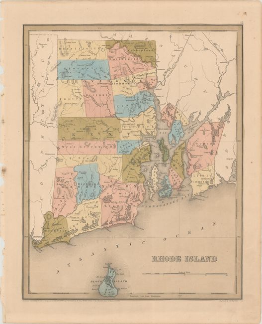
"Rhode Island", Bradford, Thomas Gamaliel
Subject: Rhode Island

Period: 1838 (dated)

Publication: A General Atlas of the World

Color: Hand Color

Size:
11.4 x 14.2 inches
29 x 36.1 cm
Download High Resolution Image
(or just click on image to launch the Zoom viewer)

A detailed map of the state that depicts five counties including Providence, Kent, Washington, Bristol and Newport. Locates settlements, factories, forts, farms, Indian villages, and two railroads; Stonington Rail Road and Rail Road to Boston. The map extends to include Block Island. Engraved by G.W. Boynton.

References:

Condition: B+

Contemporary color with light toning and some minor edge chips confined to the left side margin.

Estimate: $140 - $170

Sold for: $100

Closed on 6/9/2021

Archived