Subject: Northwestern Georgia, Civil War
Period: 1895 (dated)
Publication:
Color: Printed Color
Size:
29.2 x 19.1 inches
74.2 x 48.5 cm
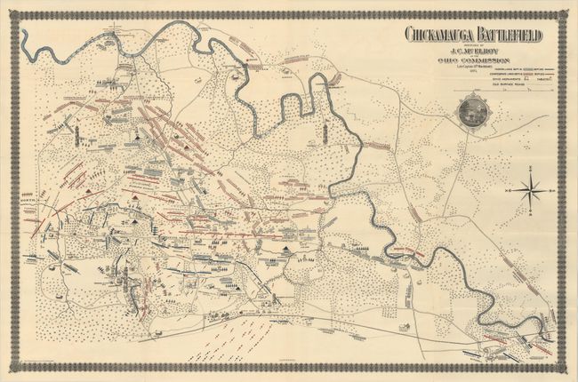
This uncommon map highlights the bloody Civil War battle between the forces of the Army of the Cumberland (Union) and the Army of Tennessee (Confederate) at Chickamauga September 19-20, 1863. It illustrates the battlefield and is filled with detail of buildings and landmarks, showing the locations of Union and Confederate troops during the battle. Legend uses color and line to differentiate the Federal and Confederate lines on the two days of action. It locates Lee & Gordon's Mill, numerous individual homes with owner's names, the location of Sheridan, Stewart's Division, and many more. Lithographed by the Henderson Lithographic Co in Cincinnati.
References: Stephenson (Civil War Maps) #155.
Condition: A
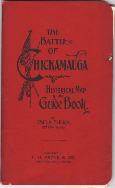
The folding map is clean and bright with a few minor extraneous creases. Accompanying text has pleasant light toning and the wrappers have minor soiling and a few tiny edge chips.


