Subject: Colorado
Period: 1881 (published)
Publication:
Color: Hand Color
Size:
24.5 x 17.9 inches
62.2 x 45.5 cm
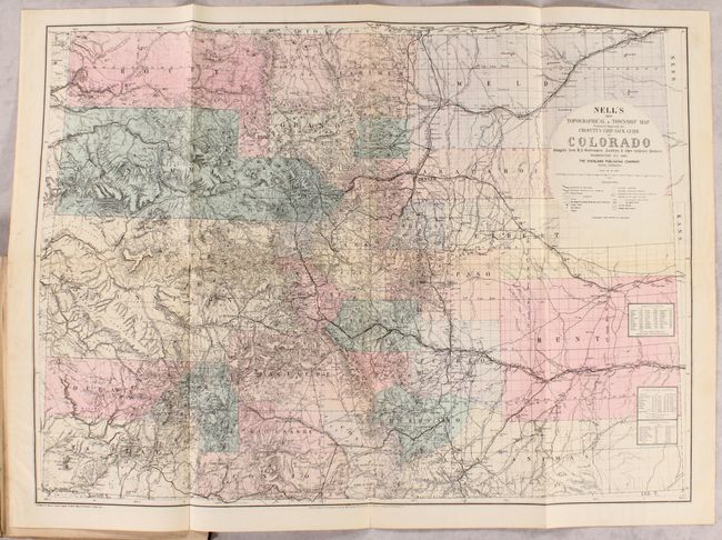
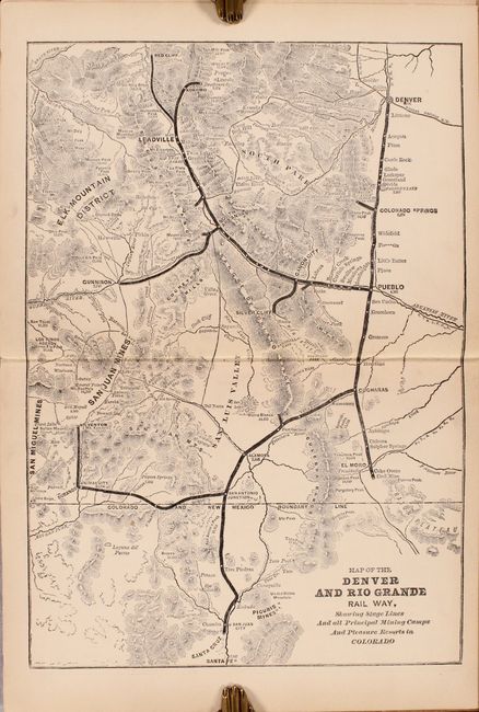
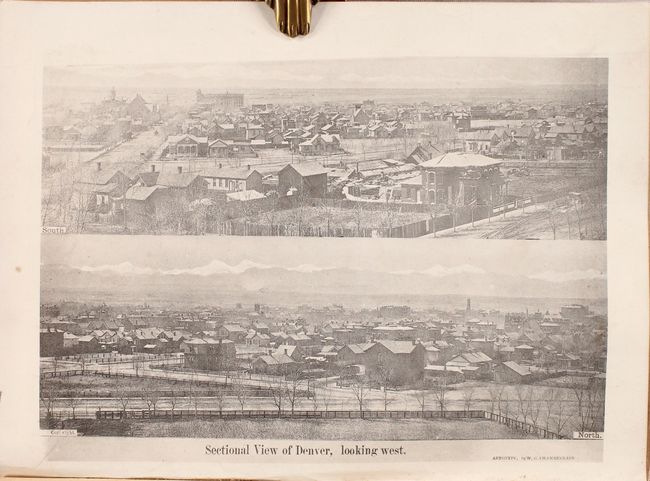
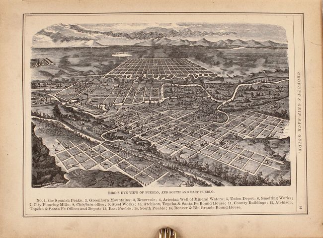
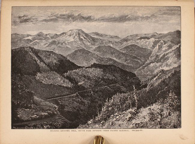
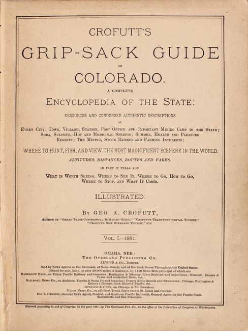
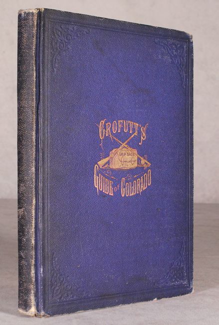
This is the scarce first edition of George Crofutt's travel guide of Colorado that is notable for its inclusion of Louis Nell's New Topographical & Township Map...of Colorado (24.5 x 18.0"). This map is a reduced version of the original (37.8" x 27.5") that was "Compiled from U.S. Government Surveys & other Authentic Sources." The map is fully engraved with virtually no area left untouched by the engraver and is drawn on a scale of 16 miles per inch. Counties are beautifully hand colored with topography, rivers, roads and railroads also depicted. Tables at bottom indicate astronomical positions and arable land. The verso of the map contains a view of Leadville. In addition to the folding map, numerous other woodcut illustrations are interspersed within the text as well as a single-page Sectional View of Denver, looking west and the double-page Map of the Denver and Rio Grande Rail Way (9.5 x 13.5"). 183 pages. Quarto, hardbound in blue cloth with gilt stamped illustration on the front cover.
References:
Condition: B+
The folding map is clean and bright with some archival reinforcement at the fold junctions. Text and other illustrations are very good with uniform light toning. Hinges are starting and have been reinforced with archival tissue. Binding has light soiling and moderate wear with bumped corners.