Subject: San Francisco Bay Area, California
Period: 1914-17 (circa)
Publication:
Color: Printed Color
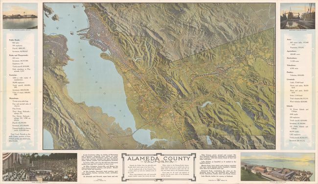
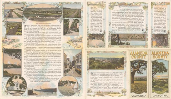
A. Alameda County California, by J.J. Rhea, circa 1914 (31.6 x 18.3"). This detailed bird's-eye view was designed by J.J. Rhea and printed by Kelley-Davis Company in Oakland. It depicts the region from San Francisco and Palo Alto east to Berkeley, Oakland, Newark and Livermore. The topography of the region is rendered with an impressive three-dimensional quality and bold coloring. Cities are represented by varying clusters of development and tiny farm fields are sprinkled throughout. The map is surrounded by photo illustrations and related text, with additional illustrations and text on verso. Self-folding into pictorial wrappers (4.0 x 9.2").
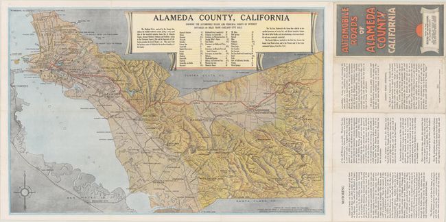
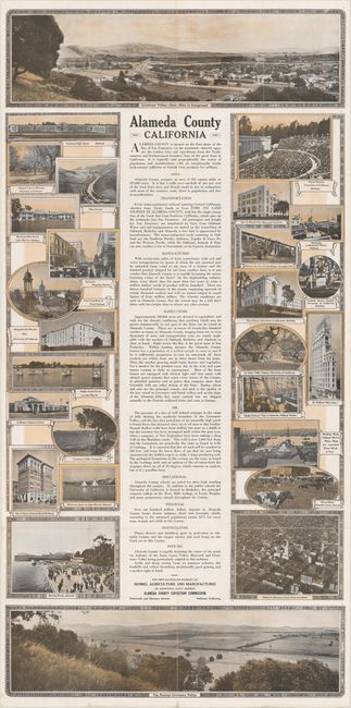
B. Alameda County, California Showing the Automobile Roads and Principal Points of Interest Distances in Miles from Oakland City Hall, by C. Merriman Peter, dated 1917 (21.6 x 14.1"). This map of the East Bay extnds from Berkeley and Oakland east to Hayward, Pleasanton and Livermore. It depicts the road network, railroads, and the mountains with a rich three-dimensional quality. Includes a decorative table of distances at top and compass rose at bottom left. The verso contains numerous illustrations, including two panoramic views of Livermore Valley. Published by the Alameda County Board of Supervisors. Self-folding into pictorial wrappers (3.9 x 7.7").
References:
Condition: B+
Colorful examples with a few small fold separations. Issued folding.