Subject: Western United States & Canada
Period: 1842 (published)
Publication:
Color: Black & White
Size:
22 x 14 inches
55.9 x 35.6 cm
The United States and Great Britain established in 1818 joint claim over the Oregon Territory - the region north of Spanish controlled Upper California up to the southern boundary of Russia's Alaska Territory at North latitude 54°40'. By the late 1830's this arrangement was beginning to fall apart.
In the 1840's the expansionist Democrats, including their 1844 presidential candidate, James Polk, claimed the entire region for the United States. Their expansionist desires were expressed by Polk's famous campaign slogan, "Fifty-four Forty or Fight!" The slogan also became a rally cry for Americans desiring to settle the territory. Following Polk's election, the dispute was resolved by the 1846 Treaty of Oregon, which struck a compromise that fixed the U.S./Canadian boundary at 49º North.
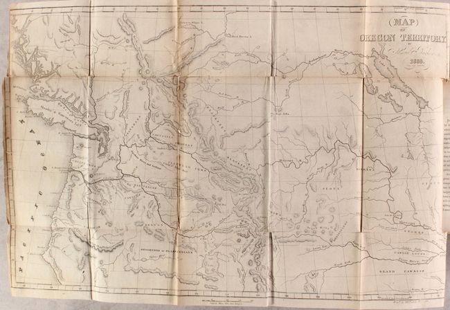
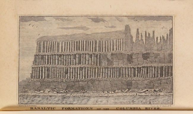
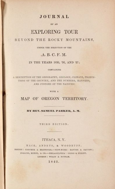
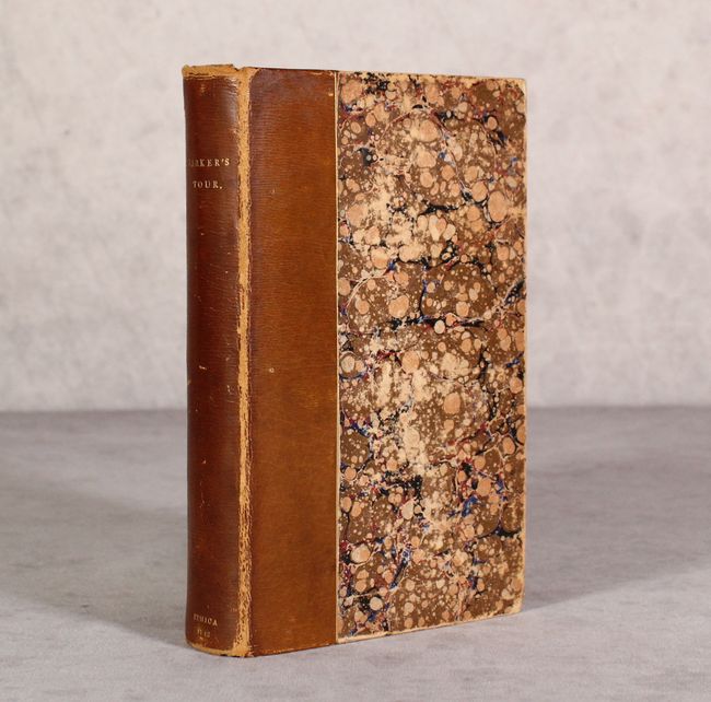
Samuel Parker was a missionary who accompanied a fur-trading party on an expedition from Council Bluffs, Iowa to the Oregon Territory. At the time, the region was claimed by both the British and the United States and was little known except to fur-traders. The folding map Map of Oregon Territory…, 1838 (22.4 x 14"), and the wood engraving of the Basaltic Formations on the Columbia River are both present in this complete volume. Parker's map, based on both personal observation and reports of the fur-traders of the Hudson Bay Company, is considered a landmark in the mapping of the region. The map provides an excellent view of the river systems and tribal territory. It shows several forts, including an early depiction of Fort Hall. The map extends to include much of present-day Canada. The map is still bound in the original book in which Parker tells of his incredible experiences on the expedition. The books preface refers to the map as being "far more accurate than any which has before been published." 408 pages. Hardbound in contemporary quarter leather over marbled boards with gilt title on the spine.
References: Howes #P89; Sabin #58729; Wagner-Camp 70:5; Wheat (TMW) #438.
Condition: B
The folding map is backed on old linen with tissue repairs to a few small fold separations along a vertical fold with minute loss of image. There are several other minor fold separations and edge tears along the sheet edges. Text is clean and tight with light toning along the sheet edges. Covers have average wear with archival reinforcement along the front hinge.