Subject: Atlases
Period: 1837 (published)
Publication:
Color: Hand Color
Size:
11.2 x 15.8 inches
28.4 x 40.1 cm
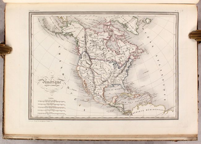
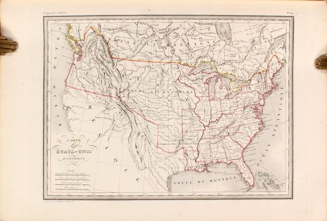
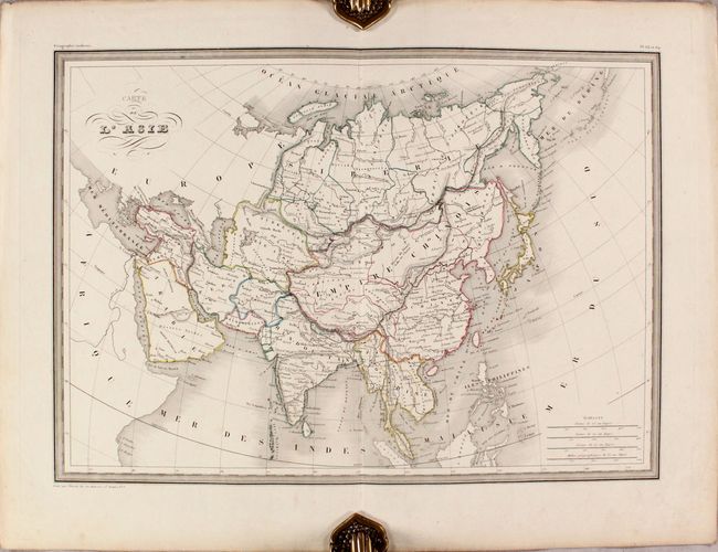
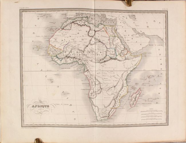
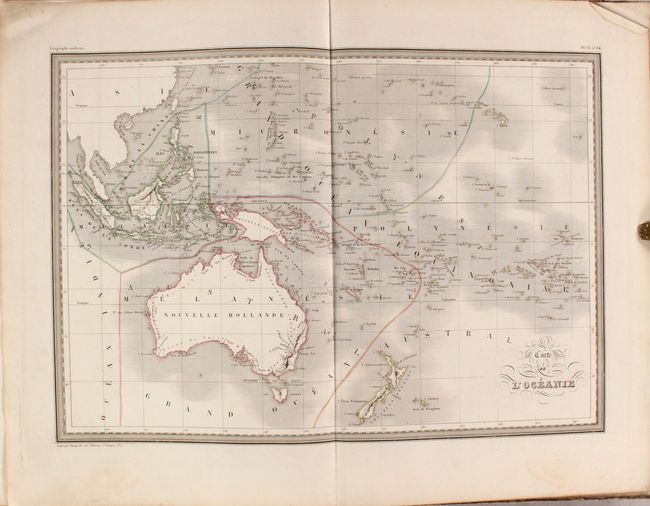
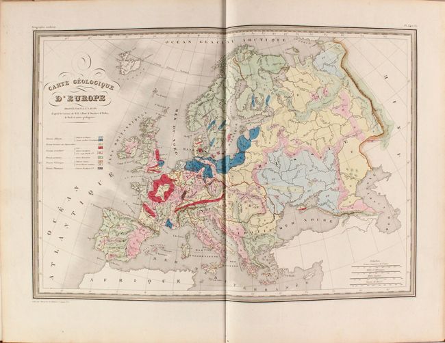
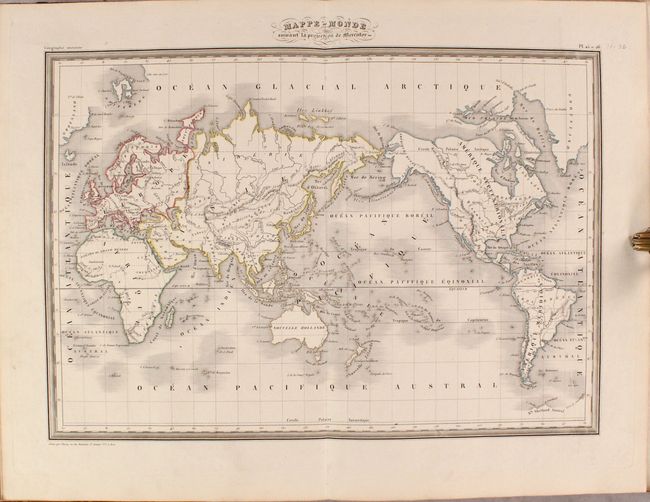
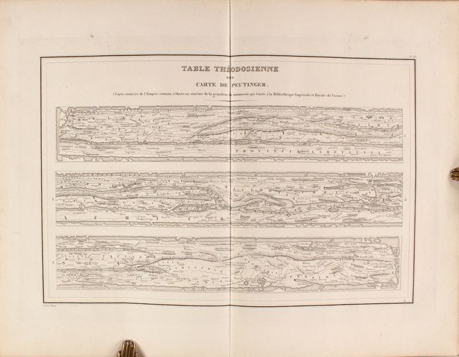
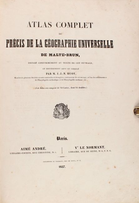
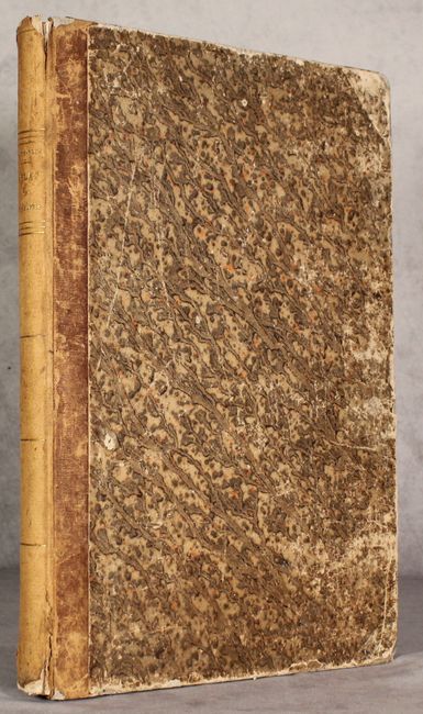
This nearly complete atlas contains 57 single-page and 14 double-page maps of the world, missing only the ancient map of Asia Minor (plate 9). The first 17 (of 18) relate to the ancient world and the remaining 54 are modern. The modern maps consist of the following: World (2), Europe (31), Asia (5), Africa (3), North America (5), South America (5), and Oceania (3). Of particular interest are the maps of North America (Amerique Septentrionale) and the United States (Carte des Etats-Unis) which still depict Texas as a part of Mexico despite the atlas' publication date. Both also show the United States' claims in the Northwest extending well north into Canada, reflecting U.S. interests in the region (the French usually supported this position). The atlas also features three geological maps of Europe, France, and England, as well as a double-page Peutinger table. Hardbound in quarter leather over marbled boards.
References:
Condition: B+
The maps are in original outline color with some light toning (mostly in the Ancient map section) and occasional minor staining and foxing. Binding is somewhat loose with the double hemisphere world map and Asia map detached. Hinges are starting. Binding is heavily worn with gouges to the marbled paper on the rear cover.


