Subject: Minnesota
Period: 1853-55 (published)
Publication:
Color: Black & White
Two early "Year Books" issued shortly after Minnesota Territory was established:
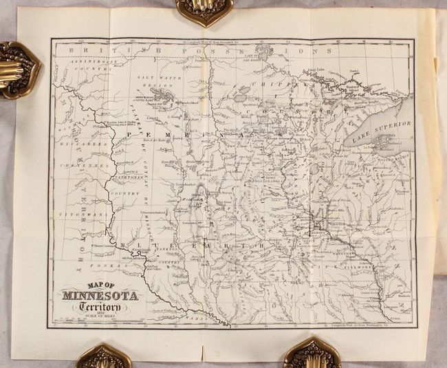
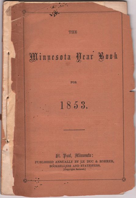
A. Map of Minnesota Territory [in] The Minnesota Year Book for 1853, by Le Duc & Rohrer, published 1853 (10.3 x 8.1"). This is the third edition of this almanac-type yearbook with text describing the geology, soil products, even a section on “How to Spend a Day Profitably in Sight-Seeing.” Includes a frontispiece map of the territory extending west to beyond the Missouri River. Depicts early counties including the large Pembina, Itasca, and Blue Earth in the sparsely populated parts of the territory. Locates numerous lakes, rivers, Indian tribes, and settlements concentrated along the Mississippi River. Includes numerous advertisements for St. Paul and St. Louis merchants. 37 pages, 12mo, paper wrappers. Condition: Folding map is clean and crisp with a short fold separation confined to the bottom blank margin and some light toning in the right blank margin. Text has a few spots of foxing, but otherwise fine. Paper wrappers are chipped and detached.
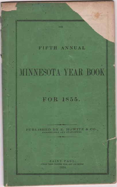
B. The Fifth Annual Minnesota Year Book for 1855, by E. Howitz & Co., published 1855 (4.8 x 7.8"). This was the final edition of this short-lived annual series and was not issued with a map. Includes daily calendar, traveler's guide, and advertisements primarily for real estate. 40 pages, 12mo, paper wrappers. Condition: Contents mostly clean with a hint of toning. Paper wrappers are chipped.
References: Howes #L-179.
Condition: B+
See description above.