Subject: References, British Isles
Period: 1991-93 (published)
Publication:
Color:
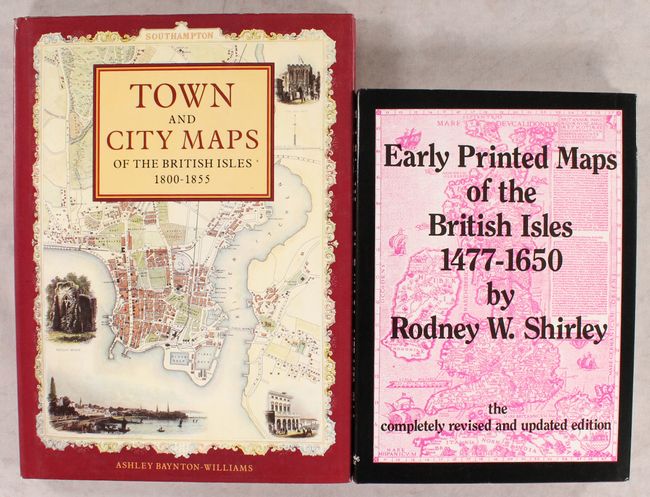
A. Early Printed Maps of the British Isles 1477-1650, by Rodney W. Shirley, published 1991, black & white (8.6 x 12.0"). This is completely revised and reset edition of this reference, which traces the cartographic history of the British Isles from Ptolemy to Speed. This updated version includes 670 entries (like the 1980 edition) and 160 black & white plates (88 in the 1980 edition). 233 pages. Hardbound in maroon cloth with gilt titles on front cover and spine. An invaluable reference for collectors of maps of the U.K.
B. Town and City Maps of the British Isles 1800-1855, by Ashley Baynton-Williams, published 1993, printed color (10.4 x 14.3"). This beautifully illustrated reference focuses on intricately decorated maps of English cities. It features an interesting selection of 56 town and city views, all in full color, representing the work of nine leading cartographers, including Tallis, Moule, and Cole & Roper. Hardbound with pictorial dust jacket. 128 pp.
References:
Condition: A
Both books are near fine, with slightly bumped corners.