Subject: References
Period: 1952-81 (published)
Publication:
Color: Printed Color
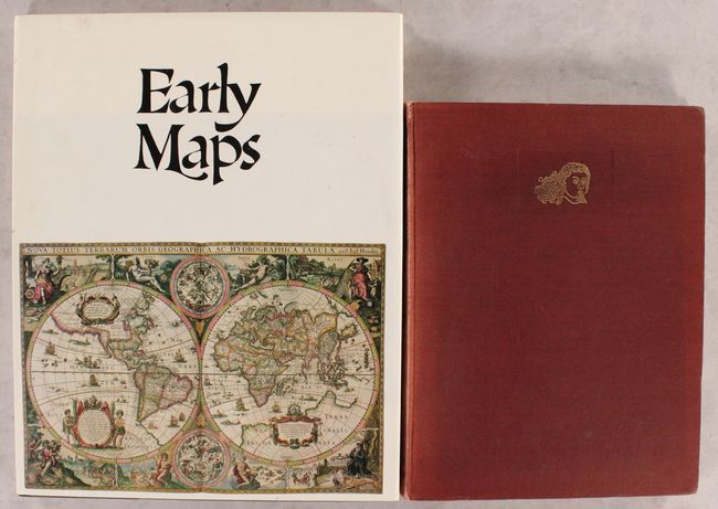
A. Decorative Printed Maps of the 15th to 18th Centuries - A Revised Edition of Old Decorative Maps and Charts, by R.A. Skelton, published 1952 (9.6 x 12.6"). First edition of this revised edition of Old Decorative Maps and Charts by A.L. Humphreys. Mr. Skelton was the Superintendent of the Map Room at the British Museum when he published this work. 84 images in color and b/w, 80 text pages. Hardbound in red cloth, titled in gilt on spine with a gilt windhead on the front cover. Condition: Text pages are lightly toned with some light scattered foxing. The plates have faint toning along the edges, not impacting the map images. Covers have light shelf wear with slightly bumped corners, and the spine is sunned. (B)
B. Early Maps, by Tony Campbell, published 1981 (12.3 x 15.3"). This reference book contains an array of early maps, municipal plans, and sea charts from the 13th century to the 1850s. Each plate is accompanied by information on the cartographer and an explanation of the political developments and geographical discoveries that influenced the map's design. Hardbound in green cloth with gilt letters on spine and illustrated original dust-wrapper. 148 pp., 68 color plates, several foldouts. Condition: Contents and covers are very good with just a hint of sunning along the top and bottom edges of the spine. Dust jacket is slightly sunned with some light soiling. (A)
References:
Condition:
See description above.