Catalog Archive
Auction 181, Lot 691

"Carte du Cours des Rivieres de Faleme et Sanaga dans les Pays de Bambuc et Tamba Awra...", Bellin/Van Schley

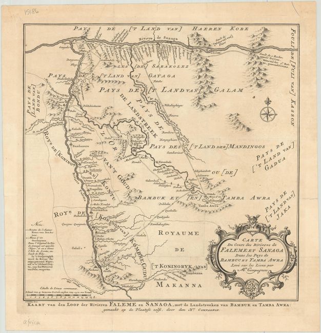
Subject: Western Mali

Period: 1773 (circa)

Publication: Historische Beschryving der Reizen... en Land-Togten...

Color: Black & White

Size:
11.1 x 11.2 inches
28.2 x 28.4 cm
Download High Resolution Image
(or just click on image to launch the Zoom viewer)

This handsome map covers the important Bambouk gold mining region lying between the Senegal and Faleme rivers in present-day Mali. The map is filled with detail of numerous long vanished kingdoms, along with major routes leading to the gold mines of Tamba Awra. The map is embellished with a title cartouche and a compass rose capped with fleur-de-lis. Dutch edition engraved by J. van Schley with an alternate Dutch title below the map.

References:

Condition: B+

Issued folding on a sheet with a fleur-de-lis coat of arms watermark. There is minor offsetting, faint dampstaining, and some short fold separations along the sheet's edges, including two that cross the neatline at top.

Estimate: $90 - $110

Sold for: $50

Closed on 2/10/2021

Archived