Subject: Philippines
Period: 1902 (published)
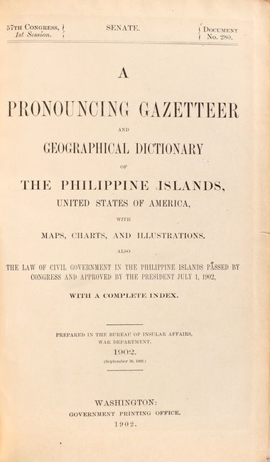
Publication: Sen. Doc. 280, 57th Congress, 1st Session
Color: Printed Color
Size:
6 x 9.3 inches
15.2 x 23.6 cm
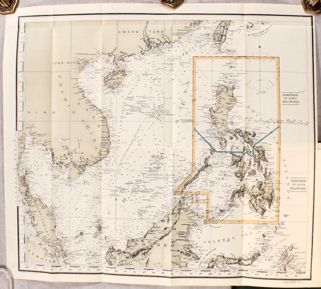
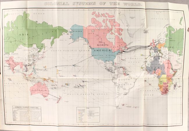
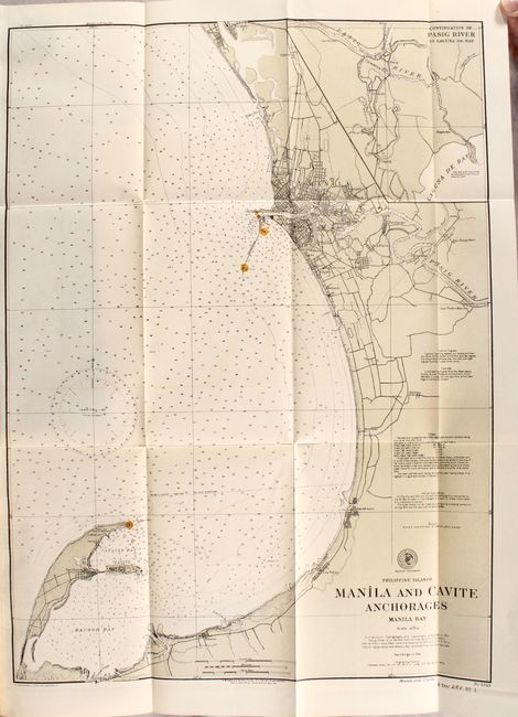
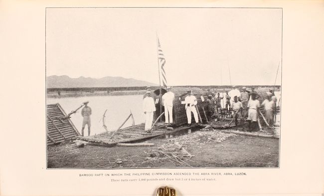
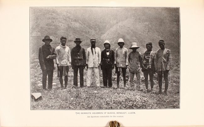
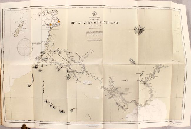
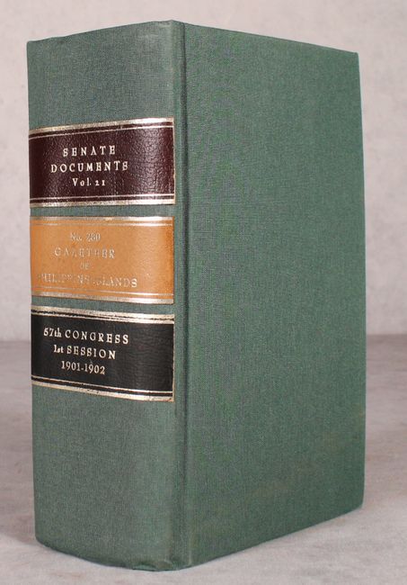
This colossal volume was a byproduct of the United States victory in the Spanish–American War, whereby the United States took possession of the Philippines. While issued by the War Department, the contents are broad in scope. The introduction states that "in the compilations of this work not only the existing literature but all available reports from military, naval, and civil officers, giving the observations and results of campaigns, expeditions, reconnaissances, etc. have been consulted." Particular emphasis was paid in the spelling and pronunciation of local geographic names and etymology. The 933 pages of text are profusely illustrated by scores of plates and charts too numerous to count, as well as five folding maps. The maps of particular interest include the untitled frontispiece that shows the Philippines divided into its northern and southern departments (16.4 x 18.4"), an interesting world map on a Mercator projection presenting the Colonial Systems of the World (27.0 x 18.0"), and a local map of Manila and Cavite Anchorages - Manila Bay (20.5 x 15.0"). Octavo, rebound in green cloth with title labels on spine.
References:
Condition: A
The maps, charts, and plates are clean, bright, and fine. Text is very good with pleasant light toning. Modern binding is near fine with some soiling on the covers.